IMAP at L1 is turning the heliosphere into a weather map
Fresh off a shared ride to L1 with NOAA’s SWFO‑L1 and NASA’s Carruthers observatory, IMAP kicks off continuous mapping of the heliosphere. The payoff is practical: earlier radiation alerts for Artemis crews and smarter routes for deep‑space missions.
Breaking orbit, building a map
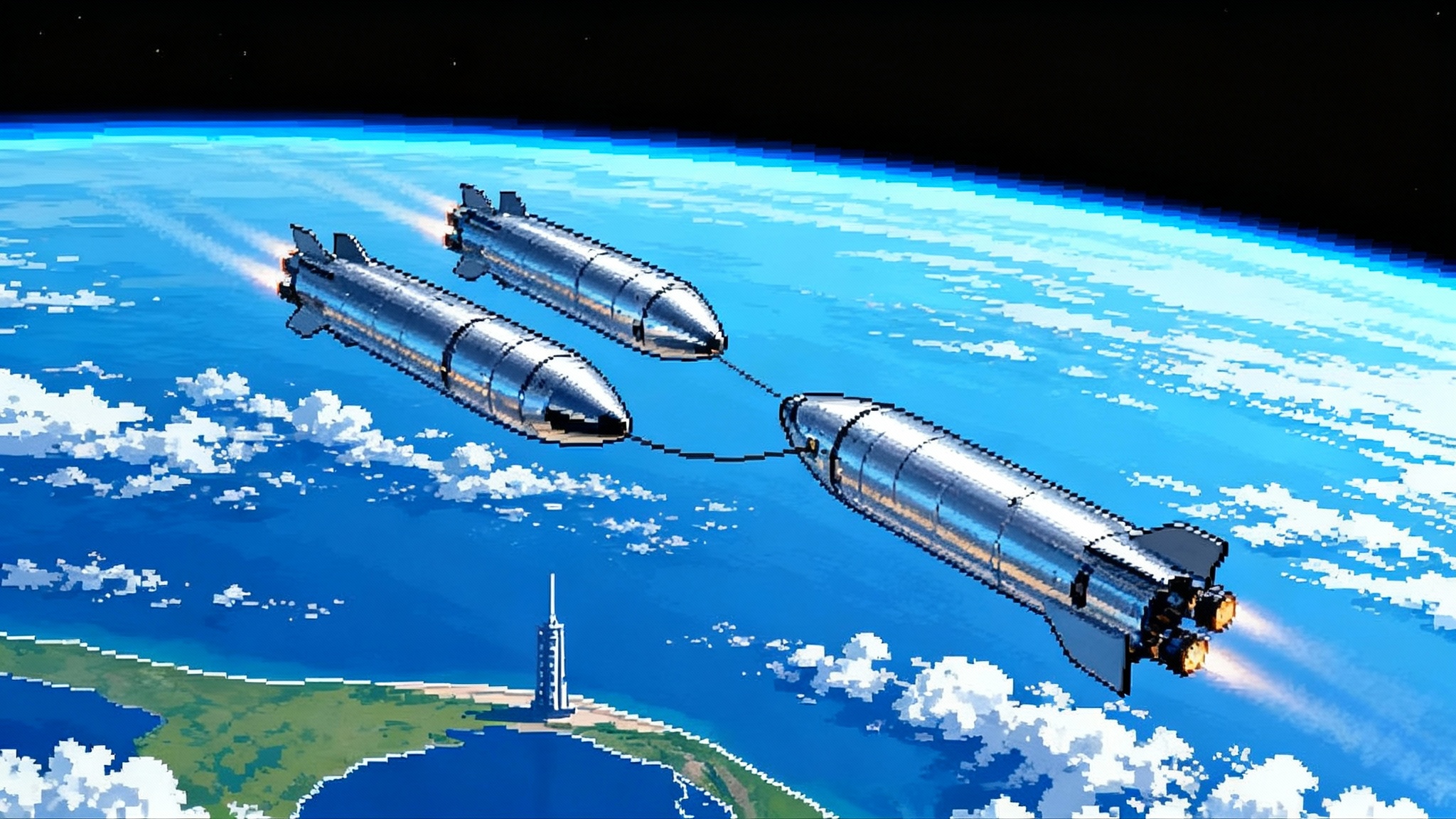
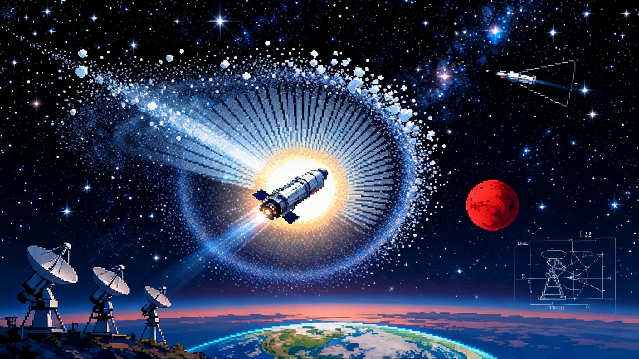
At 7:30 a.m. Eastern on September 24, 2025, a SpaceX Falcon 9 lifted three spacecraft from Launch Complex 39A in Florida: NASA’s Interstellar Mapping and Acceleration Probe (IMAP), NOAA’s Space Weather Follow On L1 (SWFO‑L1), and NASA’s Carruthers Geocorona Observatory. It was not just a launch; it was the start of treating the space around us like a navigable weather system. See the official details in NASA and NOAA’s launch release.
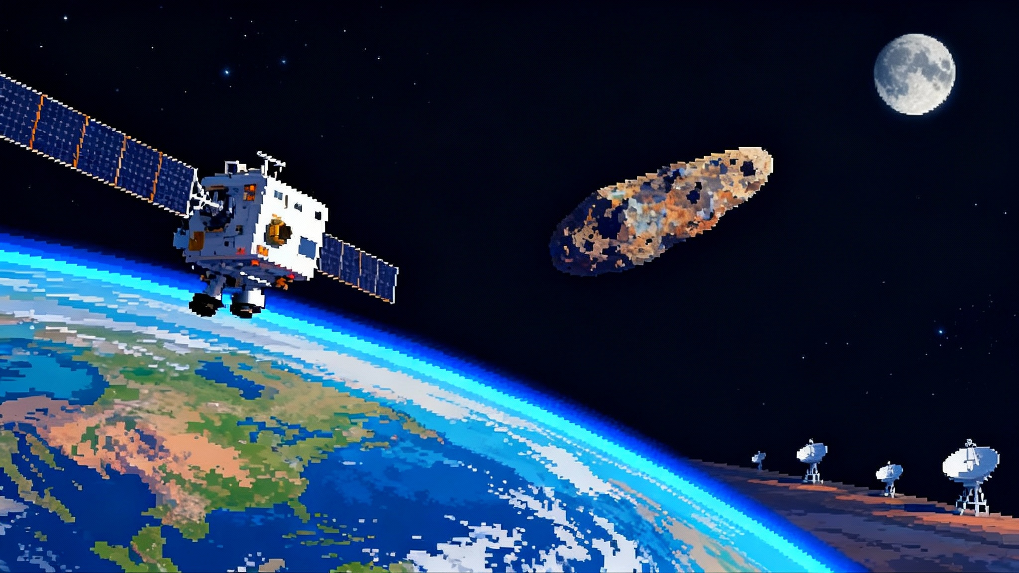
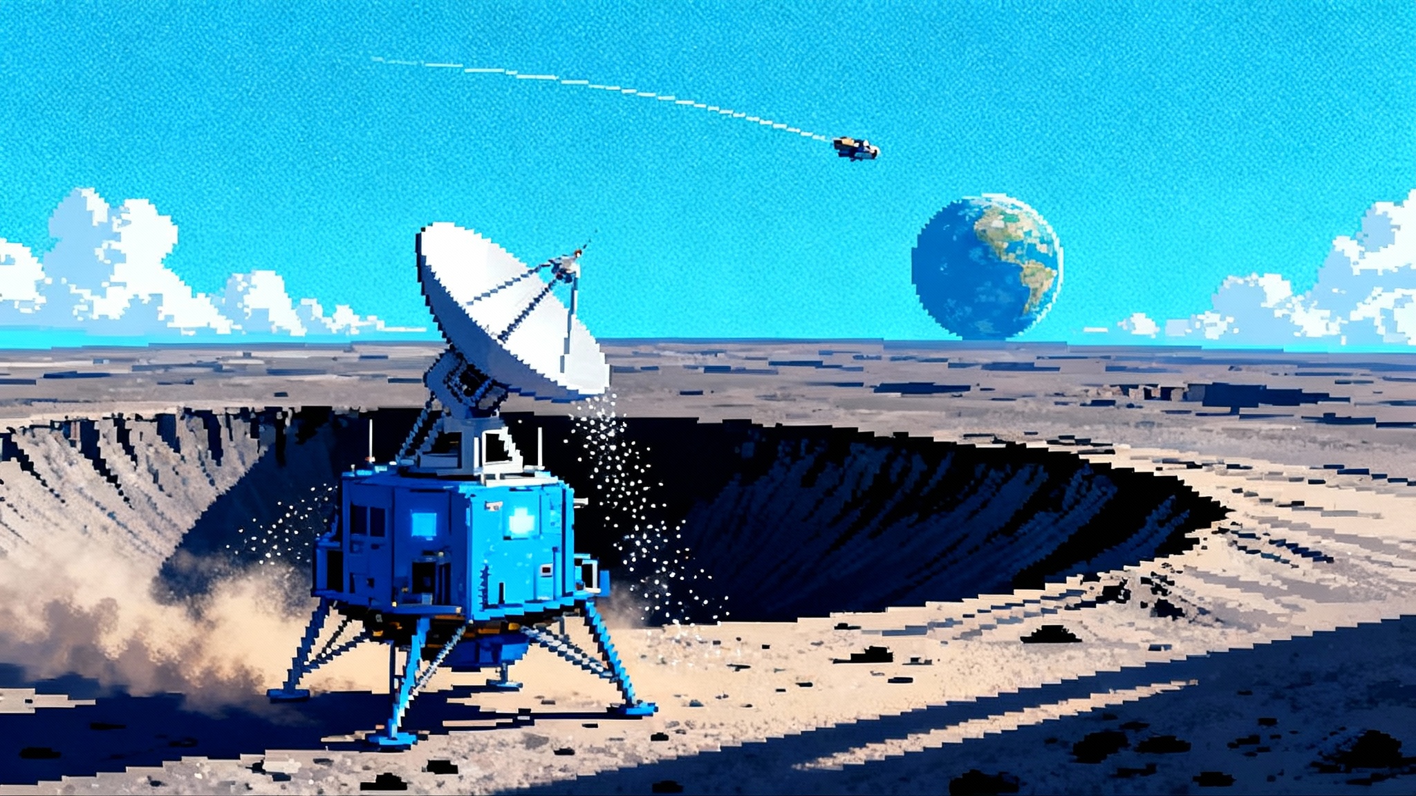
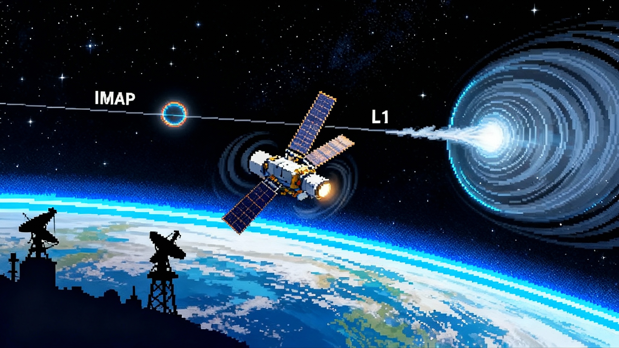
IMAP is now cruising toward the first Sun-Earth Lagrange point, commonly called L1, about a million miles sunward of Earth. From there it will map the invisible forces that fill our neighborhood in space. SWFO‑L1 and Carruthers are headed to the same region, creating a coordinated trio that watches the Sun, senses the solar wind, and images the faint outer fringe of Earth’s atmosphere. The three‑spacecraft stack gives scientists and forecasters the vantage point they have wanted for years: a stable lookout station between Earth and the Sun.
Why L1 matters now
L1 is where gravity from Earth and the Sun balances in a way that lets spacecraft loiter with minimal fuel. Think of it as a lookout balcony with an uninterrupted view of incoming weather. From there, IMAP looks outward to the boundary of the heliosphere, SWFO‑L1 stares at the corona and samples the solar wind upstream of Earth, and Carruthers photographs the geocorona, the wispy hydrogen glow that marks the very edge of our atmosphere. It is one location, three perspectives, and one purpose: see trouble early and turn insight into action. For background on the solar cycle’s intensity, revisit our look at Parker Solar Probe at solar maximum.
The cadence matters. SWFO‑L1 is an operational satellite for forecasters at NOAA’s Space Weather Prediction Center. It is built around fast, reliable measurements and imagery designed to feed real‑time models. IMAP is a science flagship built to decode particle physics at the edge of the Sun’s influence. Carruthers probes how Earth’s exosphere changes, which shapes how our planet responds to storms from the Sun. Together they convert a once‑siloed research pipeline into a synchronized feed.
What IMAP actually maps
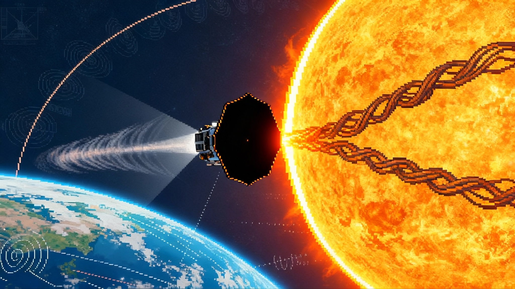
The heliosphere is a vast bubble carved out by the solar wind. Charged particles stream from the Sun, collide with neutral atoms, and create energetic neutral atoms that travel in straight lines. IMAP carries ten instruments to read those particles and reconstruct the bubble’s shape, its dents and currents, and the way it flexes as the Sun breathes in its roughly 11‑year cycle. It is particle cartography: imaging a landscape from the motion of its sand grains.
IMAP’s vantage point at L1 is not only about far horizons. It is also about nowcasting. The mission can enable roughly half‑hour early warnings of dangerous particle radiation to protect spacecraft and crews near Earth. That interval is short in human terms, but it can be the difference between an astronaut in the Orion capsule having time to shelter and being caught in an onslaught of high‑energy protons. Think of it as a tornado siren for space.
SWFO‑L1 is the operations engine
Where IMAP specializes in the why, SWFO‑L1 specializes in the what and the when. Its in situ sensors measure the solar wind’s speed, density, temperature, and magnetic field. Its coronagraph tracks coronal mass ejections soon after they erupt, estimating their direction and speed. Explore the payload in NOAA’s SWFO‑L1 overview.
The spacecraft’s journey to L1 is brisk. After separation from the Falcon 9, SWFO‑L1 began its cruise toward the Lagrange point and is expected to arrive around January 2026, followed by commissioning and transition to full operations in mid‑2026. The timeline matters because it tells industry and mission planners when to expect stable, continuous data to plug into risk models and planning systems.
Carruthers fills a blind spot close to home
Carruthers is a small observatory with a big target: Earth’s geocorona. It captures ultraviolet light from hydrogen atoms that drift tens of Earth radii into space. These wisps act like the froth on an incoming tide, revealing how solar storms squeeze or puff the outermost boundary of our atmosphere. If you want to know how a shock from the Sun will couple into satellites in low Earth orbit, this is precious context.
From research to operations in one stack
What makes this launch different is not just three spacecraft, but the flow of data they create together. Picture a synchronized pipeline:
- SWFO‑L1 provides upstream measurements and coronagraph images that tell forecasters what is coming.
- IMAP turns particle measurements into maps of the heliosphere’s structure and energization processes, improving the physics inside forecasting models.
- Carruthers reveals how the exosphere responds, a crucial piece for satellite drag and radio propagation.
Each stream can feed operational models such as solar wind propagation and radiation dose estimators. The more accurate the physics, the fewer false alarms and the better the lead time. The payoff shows up in flight rules, launch criteria, satellite safe modes, and power grid protections.
What this means for Artemis crews
Radiation alerts are not all equal. A solar particle event can raise the radiation dose inside a spacecraft quickly enough to matter within a single orbit. NASA’s plan for lunar missions requires simple, executable actions when alerts hit: stack water or food packs around a storm shelter, pause extravehicular activity, and adjust orientation to minimize exposure. If IMAP and SWFO‑L1 can consistently deliver about 30 minutes of warning for particle storms, that becomes a reliable clock to make those actions meaningful. Artemis flight controllers can thread the timing between an alert and peak flux, buying safety with minutes that did not exist before. For lunar operations lessons learned, see our piece on commercial lunar ops lessons.
The operational details are concrete. A deterministic alert threshold tied to SWFO‑L1 particle counts triggers the crew procedure. IMAP’s contextual data helps discriminate between benign enhancements and truly hazardous events, reducing unnecessary sheltering. Over time, archived data will allow teams to refine dose projection models for specific spacecraft layouts, suit materials, and mission phases.
AI‑optimized trajectories are coming into view
A weather map is useful only if vehicles know how to use it. Deep‑space missions spend months to years sailing through the heliosphere. Their power systems and instruments can be sensitive to radiation spikes, and solar wind conditions can add small but significant forces that affect course corrections. With continuous data from L1, agencies and companies can start to plan trajectories the way airlines plan flights around jet streams and storms. That dovetails with the orbital refueling era now opening up longer and more flexible mission designs.
Here is how that could work:
-
Assimilate: SWFO‑L1 measurements and coronagraph imagery feed real‑time solar wind and coronal mass ejection models. IMAP refines the background structure of the heliosphere, sharpening how those models propagate shocks and rarefaction regions.
-
Forecast: Produce probabilistic fields for particle flux, solar wind speed, and magnetic field polarity along candidate routes and timelines. Attach uncertainty bars that shrink as L1 data evolves.
-
Optimize: Use reinforcement learning or stochastic dynamic programming to select transfers, correction burns, and loiter points that minimize integrated risk and propellant cost, subject to mission constraints. An algorithm might choose a slightly longer cruise for a sample‑return mission to avoid a forecasted high‑radiation sector, or pick an arrival time that misses an incoming shock by two days.
-
Execute: Update the plan as the forecast updates. The spacecraft navigates with a living route, not a fixed paper plan.
The industrial cast behind the scenes
Big missions are ecosystems. SpaceX provided the ride. Princeton University leads IMAP science and the Johns Hopkins Applied Physics Laboratory built and will operate the spacecraft. SWFO‑L1’s observatory was assembled by industry with instruments from U.S. government labs and universities. Carruthers’ spacecraft was designed and built by industry with science leadership from multiple institutions. The point is not just credit. It is a reminder that the space weather enterprise is now a blend of universities, government labs, and commercial suppliers whose systems must interlock.
Timelines that matter to operators
IMAP’s prime mission begins after it reaches L1 and completes commissioning, which teams expect around January 2026. SWFO‑L1 is on a similar schedule, with operations slated to begin after mid‑2026 commissioning. For satellite operators and launch providers, those dates are not abstract milestones. They mark when continuous, calibrated feeds should be dependable enough to wire into dashboards, automated risk flags, and go‑no‑go logic for launch and reentry windows.
A better model spine
Good weather maps ride on good models. Two weaknesses have dogged space weather forecasts. First, sparse data forces models to make sweeping assumptions about what the solar wind looks like between the Sun and Earth. Second, many models use static background conditions that cannot keep up with fast changes during active solar periods. IMAP’s science fills in the structural picture of the heliosphere so that forecasters can swap generic backgrounds for measured ones. SWFO‑L1 fills the pipe with high‑cadence upstream data and coronagraph views of newly launched coronal mass ejections. Carruthers provides Earth’s outer boundary response. Each reduces a specific uncertainty that has provoked false alarms or surprise hits in past storms.
There is a precedent. Before operational weather satellites, ocean crossings were risky exercises in luck management. Once imagery and upstream sensors became routine, forecasts improved, insurance prices changed, routes shifted, and a new industry of weather‑savvy logistics emerged. Space is next.
Concrete takeaways for the 2025 to 2030 window
-
Human spaceflight programs should formalize 30‑minute particle alert procedures and rehearse them with live data streams as soon as IMAP and SWFO‑L1 enter operations. Tie thresholds to specific sensor channels and incorporate crew‑time budgeting into shelter plans.
-
Deep‑space mission designers can begin to prototype adaptive route planners now using simulated feeds. When the L1 data goes operational, swap in live inputs. The key is to build software that can replan quietly under the hood without disrupting mission assurance processes.
-
Satellite operators in low Earth orbit should monitor exosphere variability during geomagnetic storms to refine drag forecasts. The long‑lived aftermath of a storm can increase decay rates for weeks.
-
Grid operators and aviation weather teams can treat SWFO‑L1 as a new upstream gauge. Calibrate playbooks this solar maximum with its warnings and imagery, then codify updates before solar activity wanes.
What to watch next
Over the next few months, all three spacecraft will finish their cruise to L1. Arrival around January brings instrument checkouts, then the first coordinated data runs. Expect SWFO‑L1 operational products once commissioning is complete by mid‑2026. IMAP plans first science maps that same year, which is when researchers will begin swapping out placeholder parameters in their models for IMAP‑anchored physics. Early gains should show up as fewer false positives for severe radiation alerts and tighter arrival‑time predictions for coronal mass ejections.
The bottom line
Space weather has long been something we study after the fact. With IMAP, SWFO‑L1, and Carruthers sharing a home near L1, we are moving into the routine of looking upstream and acting on what we see. For Artemis crews, it means earlier and more reliable radiation alerts. For deep‑space missions, it means trajectories that think with the weather. For everyone on and around Earth, it means the Sun will surprise us less often. The map is finally coming into focus, and it is one we can use.