Blue Ghost Made the Moon Commercial and Taught It to Navigate
Firefly’s Blue Ghost touched down on March 2, 2025, ran for more than 14 days, and enabled the first lunar GNSS fix hours later. When NASA expanded its data purchase on September 22, 2025, the signal was unmistakable: the Moon’s next phase is commercial, autonomous, and moving fast.
The moment the Moon went commercial
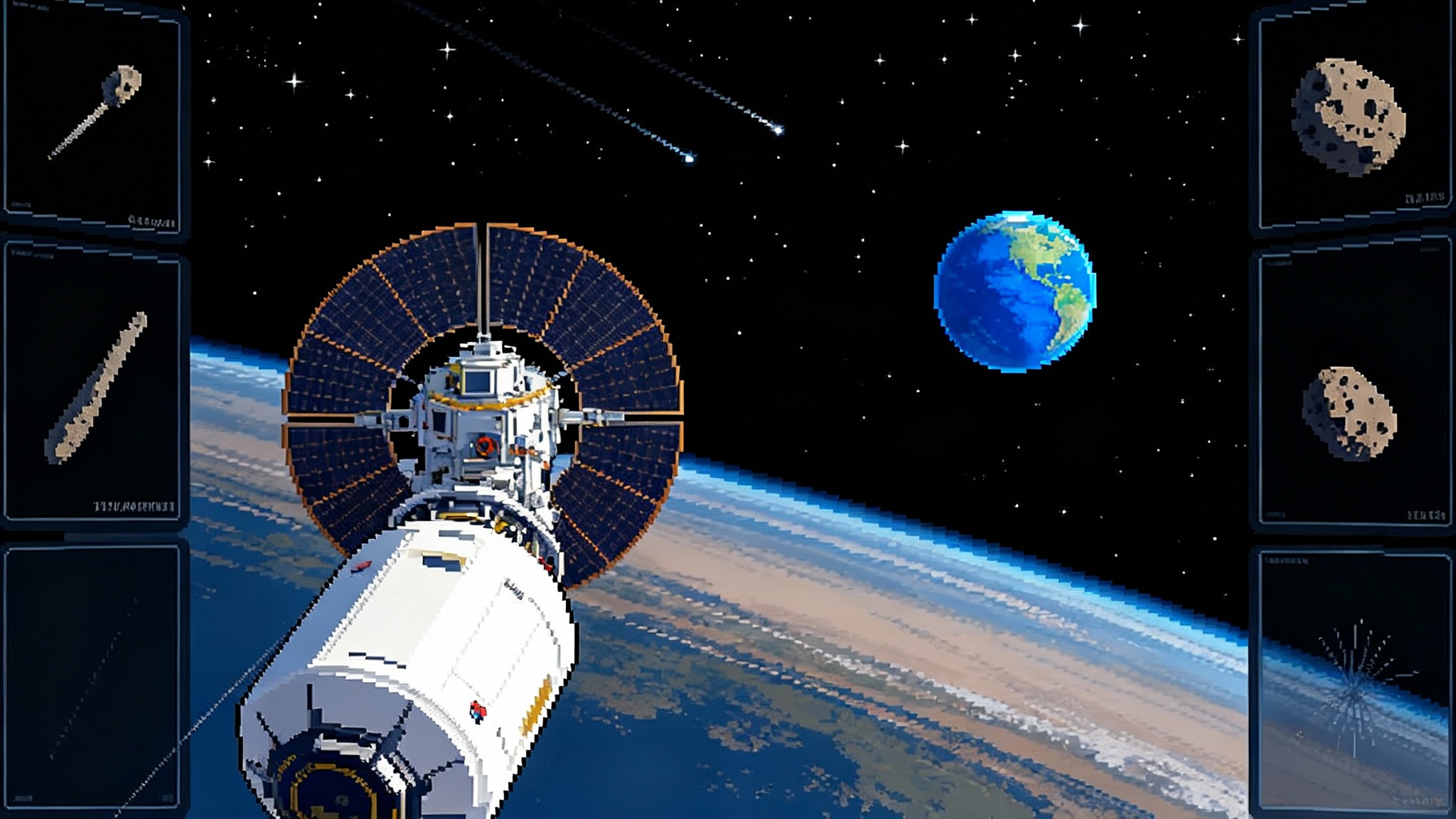
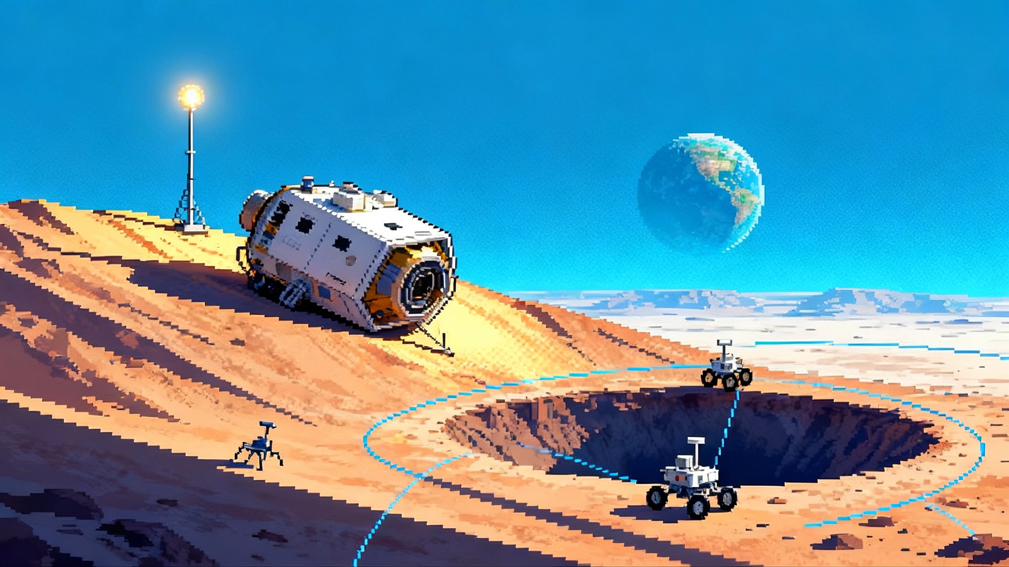
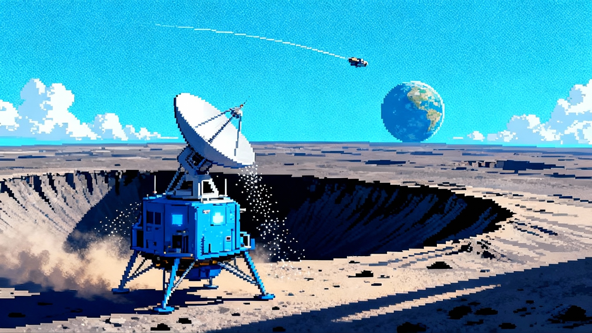
On March 2, 2025, Firefly Aerospace’s Blue Ghost Mission 1 soft-landed in Mare Crisium near Mons Latreille, then worked for more than 14 Earth days. Within hours of touchdown, the Lunar Global Navigation Satellite System Receiver Experiment, a joint technology demonstration from the National Aeronautics and Space Administration and the Italian Space Agency, acquired and tracked signals from the Global Positioning System and Europe’s Galileo. At 2 a.m. Eastern time on March 3, it computed the first position, velocity, and time solution on the lunar surface. That is not a footnote. It is a hinge in the history of space operations, because it shows that the same family of navigation signals that guide tractors on Kansas farms can, with the right engineering, guide robots on the Moon. You can read NASA’s account of the event in its program update on the first lunar navigation fix from Earth-based satellite signals, which includes the precise timing and operators involved, and explains why this is feasible despite the extreme geometry. NASA confirms first lunar GNSS fix.
The following two weeks turned into a data harvest. Blue Ghost met or exceeded all mission objectives, from instrument operations through sunset imagery. In late September, NASA went back to Firefly with a contract addendum to purchase a larger set of mission data that went beyond its original order. That action signaled something important: data, not hardware alone, is now the currency of lunar progress. Firefly says the package includes engineering logs, thermal readings across the punishing temperature swings, and images of unique lighting events such as a solar eclipse seen from the Moon. NASA’s data buy addendum tells you who bought what and why it matters.
What Blue Ghost actually proved
A first-time landing is a feat. A first-ever navigation fix from Global Navigation Satellite System signals on the Moon is a foundation. The distinction matters.
- It validated that Earth GNSS broadcasts are usable at lunar distances, even though the signals are about 1 billion times weaker than they are at your phone. That is because receivers can catch side-lobe energy from the navigation satellites’ antennas when the satellite is on the far side of Earth from the Moon. With a high-gain, gimbaled antenna and sensitive signal processing, the receiver can integrate long enough to extract a lock.
- It showed that a lander can roll GNSS into a hybrid navigation stack alongside terrain-relative vision, lidar, and inertial measurement. This reduces dependence on continuous two-way tracking through the Deep Space Network and other ground assets.
- It kicked off a path to timing services on the Moon. Reliable time is the invisible backbone of autonomy, enabling synchronized sensing, low-latency swarm operations, and consistent data stitching.
Think of it like this: before March 3, 2025, a lunar robot was a foreign traveler who could only find their way by calling home for directions. After March 3, the traveler learned to read the street signs and check a wristwatch, even if the signs are faint and the watch sometimes loses a minute.
How lunar GNSS actually works
Global Navigation Satellite System is the umbrella term for terrestrial satellite navigation constellations such as the Global Positioning System and Galileo. These constellations are designed for Earth users, not for the Moon, so the trick is to exploit the parts of their radiation patterns that leak past our planet. That leak is not waste for the Moon; it is a feature for clever engineers.
Blue Ghost’s receiver used a directional antenna on a gimbal to point at predicted regions of the sky where side-lobe energy would be strongest. It then relied on long coherent integration times and combined signals from multiple constellations. The physics are unforgiving. The signals are weak, Doppler shifts differ from Earth use, and geometry changes as the Moon rolls through its orbit. But the outcome is usable. Even intermittent fixes provide a periodic truth source that can bound the drift of inertial sensors and correct the slow wander of vision-based odometry.
Because availability is episodic, lunar vehicles will not rely on GNSS alone. The winning recipe looks like a stew:
- Batched GNSS fixes when geometry allows, used to update state estimates.
- Terrain-relative navigation that cross-correlates local imagery or lidar scans with preloaded orbital maps.
- Inertial measurement units that bridge the gaps between fixes.
- Onboard clocks that hold time across outages.
This layered approach turns GNSS from a brittle crutch into a periodic calibration tool, and it means even small rovers can navigate independently without flooding the Deep Space Network with tracking requests.
Surface operations went data first
Blue Ghost’s surface playbook reads like a handbook for lean lunar ops.
- It worked through a full lunar day, roughly 346 hours of sunlight, and survived more than five hours into the lunar night. The team learned how rapidly temperatures plummet at sunset and during an eclipse. Those gradients matter for materials, seals, and batteries.
- It documented how sunlight reflected off nearby craters can skew a lander’s thermal state. This is one of those subtle field effects that rarely show up in lab tests.
- It fought dust. Lunar dust electrostatically clings to surfaces, fogs optics, and alters radiators. Capturing how dust migrated across panels over time will feed designs for covers, wipers, and electrostatic mitigation.
- It improvised. The team described using a gimbaled antenna as a temporary sunshade to ride out a hot period, a field tactic that only shows up when you have the data to make the call.
These are not trivia. They are the kind of operational details that shave mass, reduce margin, and convert a one-off landing into a repeatable product line.
Why NASA’s September decision matters
Buying additional data after a mission is not a press release flourish. It sets the precedent that operational telemetry, environmental measurements, and raw sensor logs are shared assets. That motivates vehicle builders to instrument thoroughly and to architect missions for rich data return, not just payload delivery. It also creates a market for analytics: companies that can clean, align, and model lunar data at scale will be able to sell thermal maps, dust risk indices, and navigation layers the way mapping firms sell road data on Earth.
With the September 22, 2025 addendum, NASA essentially said: keep your factory lines moving and your data flowing. The message to industry is clear. Optimize for cadence and insight, not just spectacle.
The 2026 to 2028 cadence: iteration beats heroics
A measured drumbeat is forming. That is how complex capability gets built.
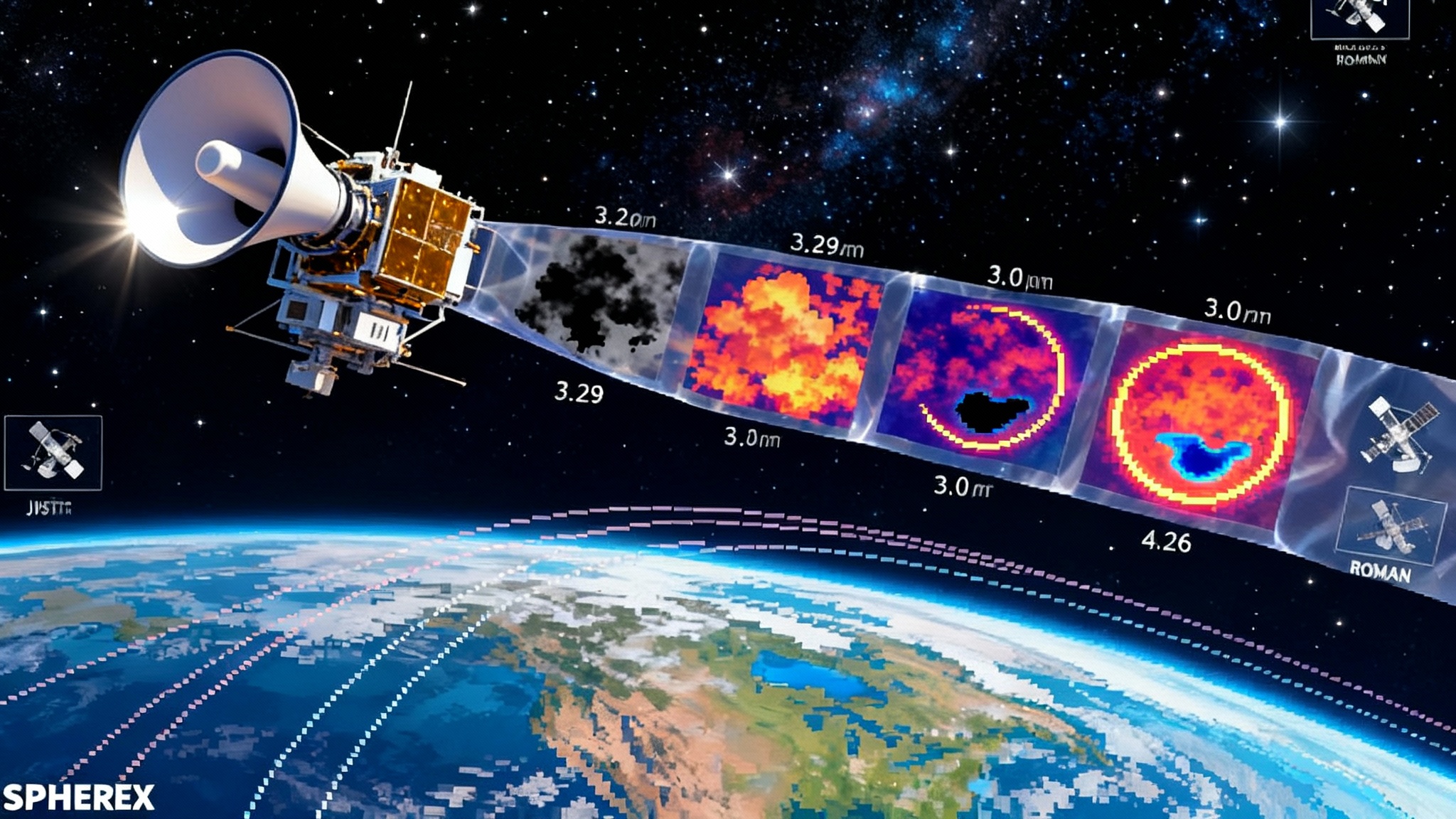
- Intuitive Machines’ IM-3 is slated for 2026, targeting the Reiner Gamma swirl. Expect a science-heavy manifest that cares about magnetism, charged dust, and surface weathering, plus a small rover that pushes autonomy with short, repeated traverses. If the company deploys a relay satellite alongside, that will signal the beginning of commercial lunar data networks, building on the first lunar LTE switch-on.
- A Draper-led mission with ispace U.S. aims at the Schrödinger Basin on the far side in the 2026 to 2027 window. Operating on the far side requires a relay in cislunar space, which in turn accelerates the creation of common standards for pointing, time, and data formats. It also puts pressure on flight software to thrive without live human babysitting; see Chang'e-6 far side insights for how ground truth is reshaping expectations there.
- Firefly has additional landings on the manifest, including deliveries that expand to radio astronomy and geologic scouting. The key is repetition. Every return to the surface should sharpen the thermal designs, dust defenses, and navigation stack. That is how unit costs fall and reliability rises.
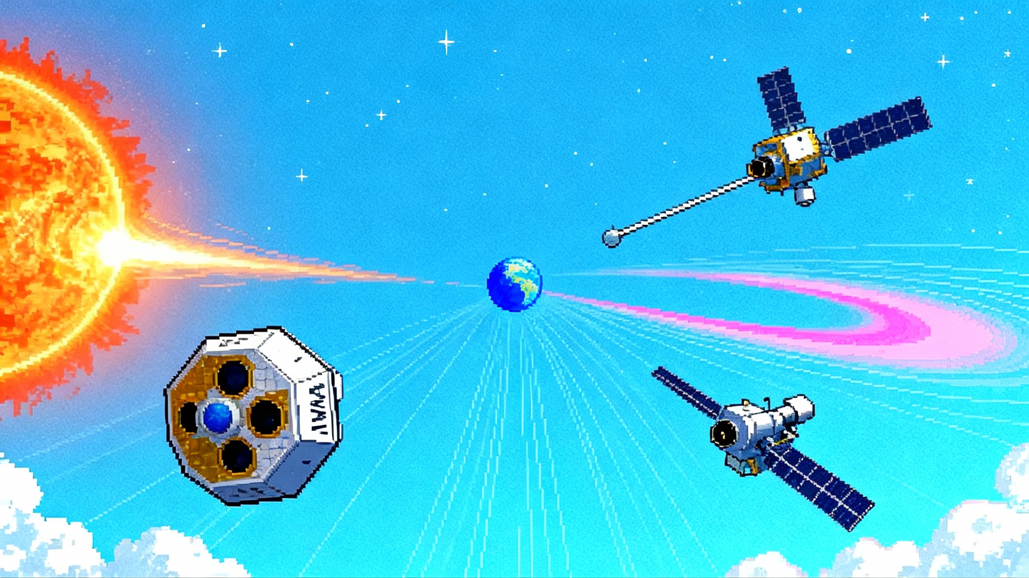
- Blue Origin is adding an orbital layer. The company announced Oasis-1, a smallsat mission in ultra-low polar orbit that will prospect for water ice and other resources, sharpening maps of volatiles and metals and feeding future landing site selection. Orbital prospecting loops cleanly into surface autonomy by giving rovers better base maps and more predictive models of where to dig or drill.
The net effect is less like a moonshot and more like a software release cycle. Launch, learn, patch, repeat.
What lunar navigation looks like from here
With a working proof that Global Navigation Satellite System signals can be used at the Moon, the navigation stack evolves in three steps.
-
Opportunistic GNSS now. Landers and rovers add high-gain, steerable antennas and receivers that can integrate weak signals. They schedule short windows to grab fixes, then dead-reckon between them with visual and inertial sensors. Mission ops plan for quiet periods when geometry is bad and concentrate mobility when geometry is favorable.
-
Relay-assisted navigation next. As more missions drop relay sats into cislunar orbits to support far-side and polar operations, those relays can also act as timing beacons and cross-link partners. A rover could blend Earth GNSS, relay timing, and star tracker updates into a more frequent clock discipline. That yields better state estimates with the same hardware. Efforts like the first lunar LTE switch-on are seeding a space internet that will make this easier.
-
Dedicated lunar Positioning, Navigation, and Timing eventually. The moment there are enough users, it becomes economical to fly a small, purpose-built timing constellation in highly stable lunar orbits. The receivers proven by Blue Ghost’s experiment are the bridge to that future.
On the ground, standardization is the unlock. Teams should converge on open message formats for lunar localization, common coordinate frames tied to the principal axes of the Moon, and a shared time scale that does not require every rover to maintain its own ephemeris. A similar standardization push is reshaping space-weather ops at L1.
How this changes mission design
- Smaller navigation margins. If you know you can get a periodic fix, you can shave propellant reserves for descent and reroute more mass to payload.
- Less ground burden. You can pull back on live tracking time on the Deep Space Network for routine traverses, saving expensive antenna hours for anomalies.
- Faster surface tempo. A rover that knows where it is can plan more complex daily routes, scout multiple targets, and safely stretch wheel lifetimes by reducing unplanned churn in regolith.
- Better science context. Precise fused navigation lets teams align drill cores, heat flow readings, and dust measurements into clean spatial layers. That speeds insight and reduces the cost per conclusion.
Concrete steps for teams and investors
- Mission designers: budget for a high-gain, gimbaled antenna and a dual-constellation receiver hardened for lunar radiation and temperature swings. Treat GNSS as a calibrator you call on ten minutes at a time. Align your onboard clock to those fixes and keep the clock disciplined with star tracker updates between sessions. Test with a radio frequency constellation simulator that can model side-lobe reception and lunar Doppler.
- Software leads: build a fusion stack that can gracefully degrade. When GNSS drops out, rely on visual-inertial odometry. When dust reduces contrast, lean more on inertial and wheel odometry plus ranging to passive reflectors. Log it all. The data you sell later may be more valuable than the payload fee.
- Thermal and power engineers: design for lighting extremes at local terrain scales. Include operational tricks like antenna shading and panel articulation into your procedures. Expect dust to change your radiator emissivity over time and size margins accordingly.
- Investors: look beyond landers to the horizontal companies. Bets on deep-space grade radios, navigation front-ends, dust mitigation coatings, thermal metamaterials, and onboard autonomy stacks are well aligned with a 2026 to 2028 cadence.
- Policymakers: continue to fund shared infrastructure and standards for lunar time and coordinates. Encourage data-rights frameworks that let core telemetry be reused by the community while protecting genuine proprietary inventions.
The bigger picture: a lunar stack comes into focus
Blue Ghost’s success arrived alongside a broader shift. Landers deliver and learn. Orbiters map and relay. Navigation proves out in the wild. The pieces interlock:
- Surface: commercial landers with science and tech payloads, plus small rovers that can work a site in multi-day loops.
- Orbit: prospectors like Oasis-1 scanning for volatiles and metals, as well as relay satellites that keep the far side online and enable time distribution.
- Navigation: opportunistic GNSS fused with terrain-relative and inertial solutions, marching toward a dedicated lunar timing service when the market justifies it.
Each layer supports the others. Better maps enable safer landings and smarter traverses. Better traverses produce richer ground truth to validate the maps. Better timing turns the whole system from a one-off stunt into a reliable transportation network.
The bottom line
Blue Ghost did not just land. It flipped a switch. A first commercial landing that stayed healthy for more than two weeks, a first-ever lunar navigation fix from Earth satellite signals the next day, and a September decision by NASA to pay for more data tell a single story. The Moon is turning into a fast, iterative, data-driven proving ground where autonomy is not a slogan; it is the plan. The winners will be the teams that treat every mission as a software update, every image as a measurement, and every measurement as a building block for the next flight. The Moon just became a place where practice makes progress, and progress compounds.