IMAP leads a three-spacecraft space-weather stack at L1
Three new spacecraft are headed to the Sun–Earth L1 point to turn space-weather warnings into real operational minutes. Here is what each mission measures, why Solar Cycle 25’s peak makes timing crucial, and the milestones to watch next.
A new trio takes position between Earth and Sun
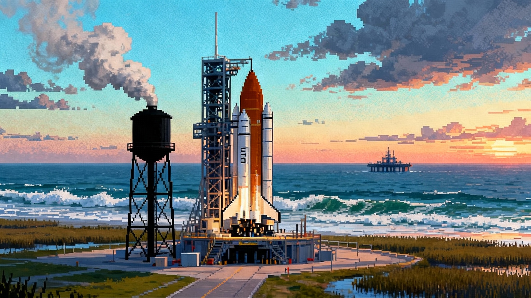
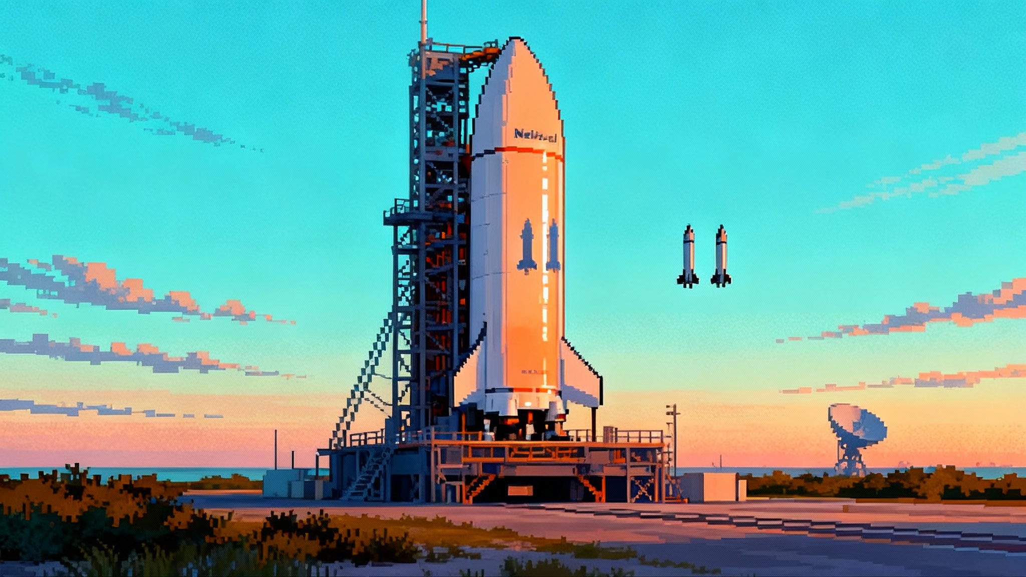
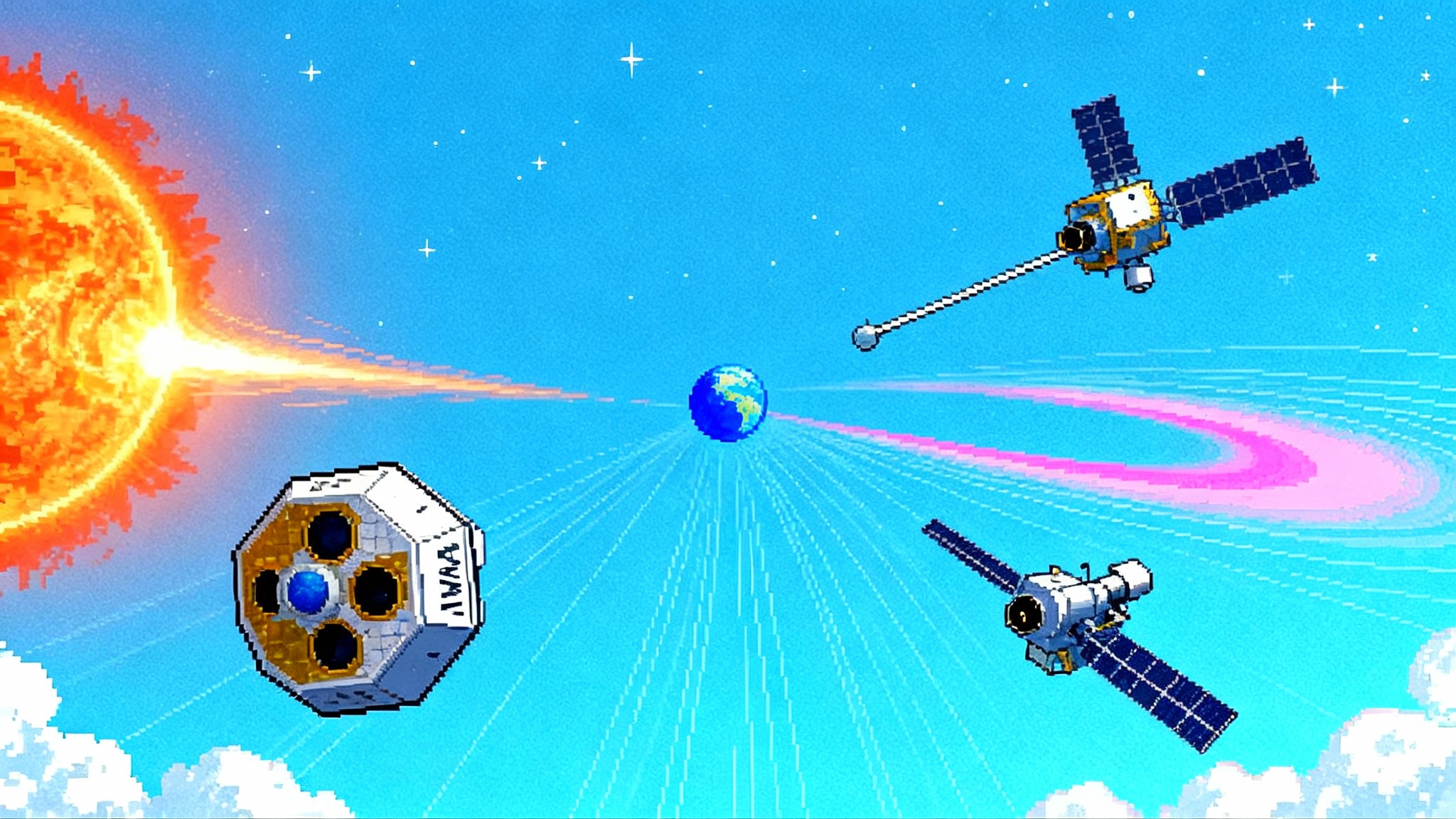
On September 24, 2025, a SpaceX Falcon 9 rose from Florida and put three complementary spacecraft on a path to the same strategic perch: the Sun-Earth L1 point, about a million miles sunward of Earth. NASA’s Interstellar Mapping and Acceleration Probe, or IMAP, led the ride, accompanied by NASA’s Carruthers Geocorona Observatory and NOAA’s Space Weather Follow-On L1 observatory, known as SWFO-L1. The launch marked the first time the United States has fielded a coordinated, multi-sensor stack dedicated to real-time space-weather monitoring and heliophysics at L1. It is the strongest signal yet that space weather is moving from research to operations. See the NASA launch confirms three spacecraft.
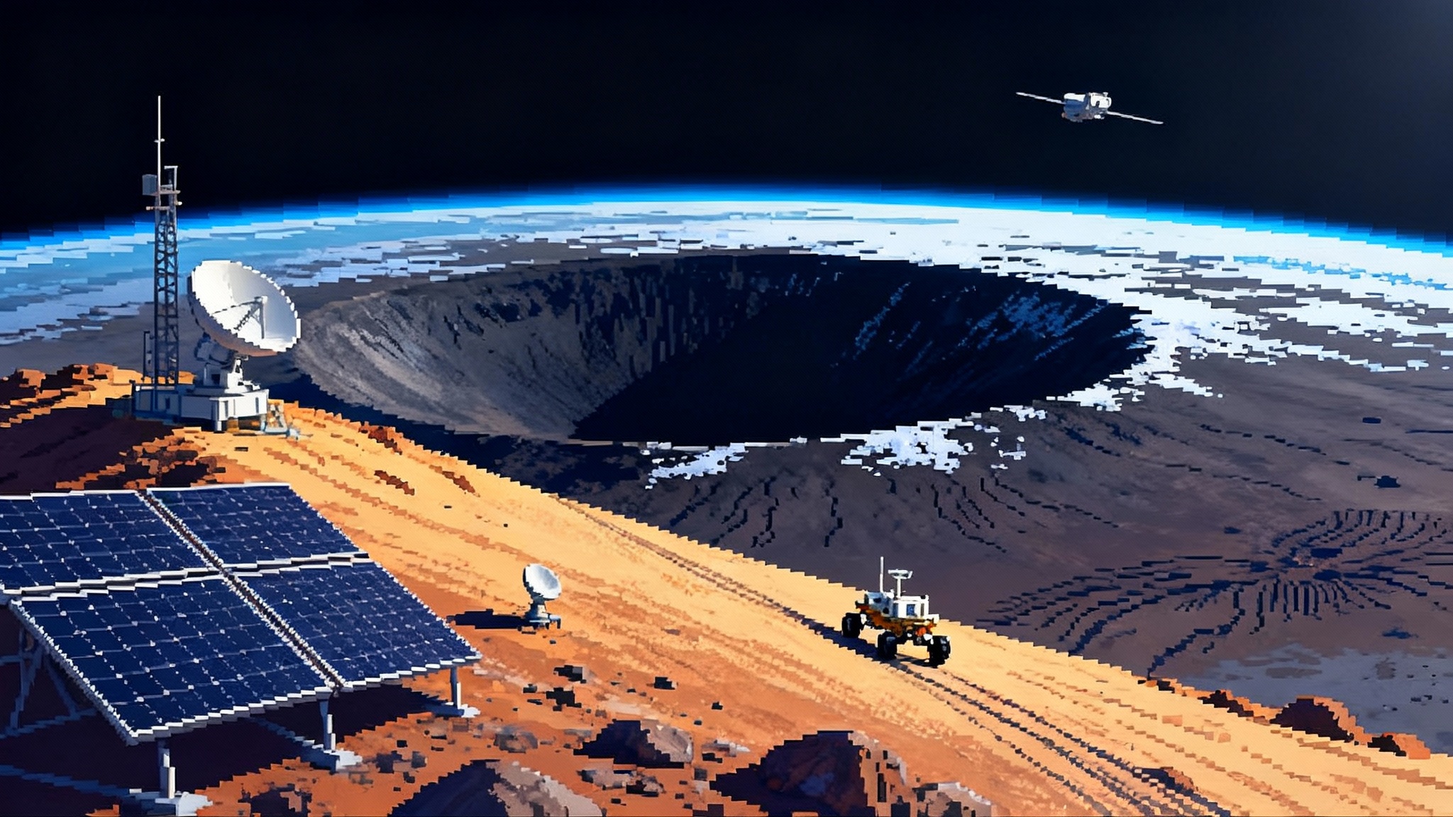
Think of L1 as the highway median between Earth and the Sun. It is far enough upstream to see solar wind and eruptions before they hit our planet, yet close enough for fast, continuous data delivery. IMAP will map the vast bubble that shields our solar system called the heliosphere. SWFO-L1 will give forecasters the upstream measurements and coronagraph images they rely on to warn power-grid operators, satellite fleets, airlines, and mission controllers. Carruthers will watch the faint hydrogen glow around Earth, the geocorona, to track how the outermost reaches of our atmosphere respond to solar storms. Together they form a single system, like three instruments in a weather band: one charts the landscape, one listens to approaching thunder, and one watches how the storm changes the shoreline.
What IMAP actually measures
IMAP’s core job is to make invisible boundaries tangible. The heliosphere is a sprawling bubble inflated by the solar wind. At its edge, the solar wind meets interstellar space and produces faint messengers called energetic neutral atoms, or ENAs. IMAP’s ENA cameras catch those messengers and reconstruct where they came from, much like a rain radar reconstructs a storm. By counting and mapping ENAs across many energies, IMAP will tease out the shape of the heliosphere, the thickness of its boundary, and the way it flexes as solar output changes.
IMAP also carries in-situ particle and field sensors to measure charged particles and magnetic fields right where the spacecraft sits. That is not just science. From L1, IMAP can send actionable radiation alerts roughly a half hour before hazardous particle bursts arrive near Earth, a margin that matters for astronauts and satellites. The mission’s design includes a real-time data stream called I-ALiRT aimed at feeding models quickly. Explore the instruments on the NASA IMAP mission page.
If ENAs still sound abstract, use this mental model: picture the heliosphere as a dark stadium. You cannot see the crowd at the far end, but you can hear the clatter of tossed popcorn buckets. ENAs are those clatters. Catch enough of them, and you can map the stands. IMAP will do this at far higher resolution and speed than its predecessor IBEX, giving scientists a sharper, more dynamic picture of our protective bubble and the cosmic radiation it filters. If you have followed how Euclid’s deep fields live map the universe, IMAP plays a parallel role for our heliosphere.
SWFO-L1: turning warnings into minutes and models
NOAA’s SWFO-L1 is built for operations first. Its instrument suite measures the solar wind’s speed, density, temperature, and magnetic field as it streams toward Earth. The spacecraft also carries a compact coronagraph to image coronal mass ejections, or CMEs, as they lift off the Sun. Those two data types are the backbone of space-weather forecasting. In practical terms, upstream solar-wind measurements can extend warning times for geomagnetic disturbances by 15 to 60 minutes. Magnetic field orientation at L1 is also the key variable for grid risk: a south-pointing interplanetary magnetic field couples strongly to Earth’s magnetosphere and sets the stage for intense geomagnetic storms.
Operational details matter here. SWFO-L1 is designed for continuous, low-latency delivery so forecasters are not waiting on delayed research feeds. The goal is simple: faster ingestion into prediction models, tighter uncertainty bars, and clearer triggers for protective actions. In that sense, SWFO-L1 is the space-weather equivalent of the Doppler radar revolution in terrestrial meteorology.
Carruthers: the geocorona as an early indicator
The Carruthers Geocorona Observatory, named for the late Dr. George Carruthers who pioneered far-ultraviolet imaging, stares at the faint hydrogen glow that forms a ghostly halo around Earth. This geocorona swells, reshapes, and sometimes thins in response to solar activity. Imaging it continuously from L1 gives scientists a planet-scale diagnostic of how space weather is corrugating the outermost atmosphere in real time. That matters for satellite drag. When the upper atmosphere puffs up during storms, low-orbit satellites feel it immediately. Fleet operators can then bump orbits, switch attitude modes, or delay maneuvers to avoid surprises.
A simple analogy: Carruthers is like a shoreline camera during a storm. If the tide suddenly rushes in, you know to pull boats back from their moorings. For mega-constellations planning thousands of satellites, that kind of situational awareness translates to fewer lost spacecraft and fewer conjunctions.
Why launch during Solar Cycle 25’s peak window matters
The Sun follows an approximately 11-year cycle of magnetic activity. Solar Cycle 25’s maximum window spans multiple years, not a single day, with elevated sunspot counts, frequent flares, and repeated CME volleys. We have already seen strong storms bend radio communications, boost orbital drag, trigger auroras far from the poles, and generally stress-test satellite operations. Launching IMAP, SWFO-L1, and Carruthers into this environment is not a bug. It is a feature. They will calibrate, cross-check, and tune models during the exact period when the Sun throws the most curveballs.
There is a second reason timing matters. The assets these missions augment or replace were built for science first and operations second. Moving to a purpose-built stack during the active phase lets NOAA’s Space Weather Prediction Center and allied groups measure the full intensity range the cycle can produce, then lock those conditions into the models they will use for years.
The near-term playbook: cruise, commissioning, first maps
- Cruise: All three spacecraft are on ballistic trajectories to L1. Travel time is on the order of three to four months. IMAP and SWFO-L1 are expected to arrive around January 2026, with Carruthers reaching its operational halo orbit near the same window. The cruise phase is not idle. Teams use it to check power, thermal control, attitude systems, and downlink performance while bringing instruments online in a staged sequence.
- Commissioning: Expect early power-on and health checks in transit, followed by detailed calibrations once the observatories settle into their L1 orbits. For SWFO-L1, commissioning culminates in operational certification so forecasters can rely on its data for public watches and warnings. That process should wrap by mid-2026. IMAP’s commissioning blends into its prime science start as instruments begin coordinated campaigns.
- First maps and routine products: IMAP’s first ENA sky maps and initial solar-wind insights are anticipated in 2026. The earliest data will help validate model inputs and reconcile differences with legacy sensors. Carruthers will generate continuous far-ultraviolet images of the geocorona, giving researchers the first long, uninterrupted time series of how Earth’s outer atmosphere flexes during storms. SWFO-L1 will aim for routine, low-latency streams of solar wind and coronagraph imagery, the heartbeat of daily space-weather briefings.
From warnings to actions: what changes for operators
Space-weather services are only as valuable as the playbooks they enable. The L1 stack is designed to add minutes where minutes change outcomes.
- Artemis and human spaceflight: A half-hour radiation alert can trigger immediate protective steps for crews. For lunar missions, controllers can adjust timelines to avoid high-radiation traverses, power down nonessential systems to reduce load, rotate spacecraft to minimize exposure, or use onboard shelters. For Orion-class vehicles, procedures include reorienting the heatshield as a partial barrier and repositioning water or cargo to add mass between the Sun and the crew. For surface missions at the Moon, habitats and rovers can enter storm-safe configurations and pause extravehicular activities until particle flux subsides. These actions need reliable triggers. IMAP’s upstream particle warnings paired with SWFO-L1’s real-time solar-wind vectors give flight rules the precision they lacked.
- Mega-constellations: During major storms, the upper atmosphere can expand, spiking drag and destabilizing orbit-raising plans. With earlier heads-up, operators can pre-emptively raise perigee, delay deployments, and switch to high-drag or low-drag attitude modes at the right moment rather than reacting late. Carruthers adds context by showing whether the geocorona is swelling uniformly or asymmetrically. If one orbital plane sees more drag, the operator can prioritize corrections there first.
- Power grids and pipelines: Grid operators can reconfigure networks to reduce long, vulnerable transmission paths, bring extra reactive power online, and postpone maintenance that reduces resilience. Simple steps like increasing reserves and adjusting thresholds for protective relays can prevent a local disturbance from cascading. SWFO-L1’s magnetic field orientation measurements are especially important here, because southward interplanetary magnetic fields are a known amplifier of ground currents.
- Aviation and positioning: Airlines can reroute polar flights to avoid high-frequency radio blackouts and elevated radiation exposure. Surveyors and precision agriculture providers can warn customers about degraded Global Navigation Satellite System performance windows. With coronagraph imagery arriving faster than many legacy feeds, the uncertainty around when a CME will actually reach Earth narrows. That clears the way for more targeted notices and fewer unnecessary disruptions.
The new layer: AI-assisted forecasting that learns in real time
There is a quiet infrastructure change riding along with these missions. Space-weather models are increasingly assisted by machine learning that digests many data streams at once, looks for patterns that signal trouble, and assigns calibrated confidence levels. Programs such as NASA collaborations with the Frontier Development Lab and commercial data companies have shown that learning systems can predict signal disruptions hours in advance when fed the right inputs. The L1 stack will supercharge this by providing cleaner, faster, and more diverse upstream data.
Here is the practical shift to expect over the next 12 to 18 months:
- Faster data in, faster decisions out: SWFO-L1’s low-latency upstream measurements and coronagraph images, combined with IMAP’s particle alerts, give models the timeliness they need to forecast not just if a storm will hit, but how severe it will be and when the worst 30 minutes will occur. That is the difference between a broad advisory and a precise operational directive. As with Rubin’s first images ignite the real-time sky, cadence and latency drive value.
- Continuous retraining: Each storm during this active cycle will be ingested, labeled, and used to retrain models. Expect error bars on arrival-time forecasts and storm intensities to shrink as the stack accrues more cases.
- Productization: Watch for data services that standardize thresholds and outputs for specific sectors. For example, a satellite-operator product that translates upstream magnetic-field flips into pre-programmed attitude changes, or a grid product that turns sudden solar-wind compressions into automatic alerts to raise reserves in vulnerable regions.
What this means for the next Artemis window
Artemis II is targeted for early 2026. That means its crewed dress rehearsal around the Moon will fly with an entirely new upstream warning architecture in place. Agency procedures evolved during Apollo and the Shuttle era often assumed sparse upstream data and long delays. The L1 stack lets mission control add new flight rules, such as proactive timing of translunar injection and return burns based on fresh solar conditions, or automated triggers for storm-shelter protocols if IMAP’s particle counts cross thresholds during specific flight phases. These refinements do not eliminate risk. They move it into a realm where training, models, and checklists can do their job. Robust comms help too, from ground networks to lunar links like the Moon’s first LTE switch-on.
The concrete takeaways
- Treat space weather as an operational hazard. Build it into schedules, insurance, and reliability models. The L1 stack means you can act earlier and with better justification.
- Establish numeric triggers now. For satellite operators, that might be a combination of solar-wind speed, density, and southward magnetic field at L1. For grid operators, it could be Kp or regional geomagnetic disturbance indices tied to specific switching plans. For human spaceflight, define particle flux thresholds that initiate storm sheltering.
- Invest in data plumbing as much as models. Low-latency ingestion, data quality checks, and automated handoffs to procedures will deliver more value than one more exotic forecast algorithm bolted onto a shaky pipeline.
- Plan drills during the commissioning phase. Use the early 2026 window to run red-team simulations that assume a complex, multi-day storm. Exercise the exact actions your team will take when the alerts arrive.
The bigger shift
The story here is not just that IMAP can map the heliosphere, or that SWFO-L1 can provide upstream data faster, or that Carruthers can watch the geocorona ebb and flow. It is that all three were designed to work together at a location that turns measurement into minutes, and minutes into decisions. That is what turning heliophysics into hard operational capability looks like. And it just launched.