Oasis-1 Will Map Lunar Fuel and Metals for a Moon Economy
Blue Origin and Luxembourg have unveiled Oasis-1, an ultra low lunar orbiter built to map water ice, helium-3, and metal-rich geology. If it flies on schedule, high-resolution resource maps could move lunar refueling and power from idea to plan.
Breaking: The Moon is getting its first purpose-built resource atlas
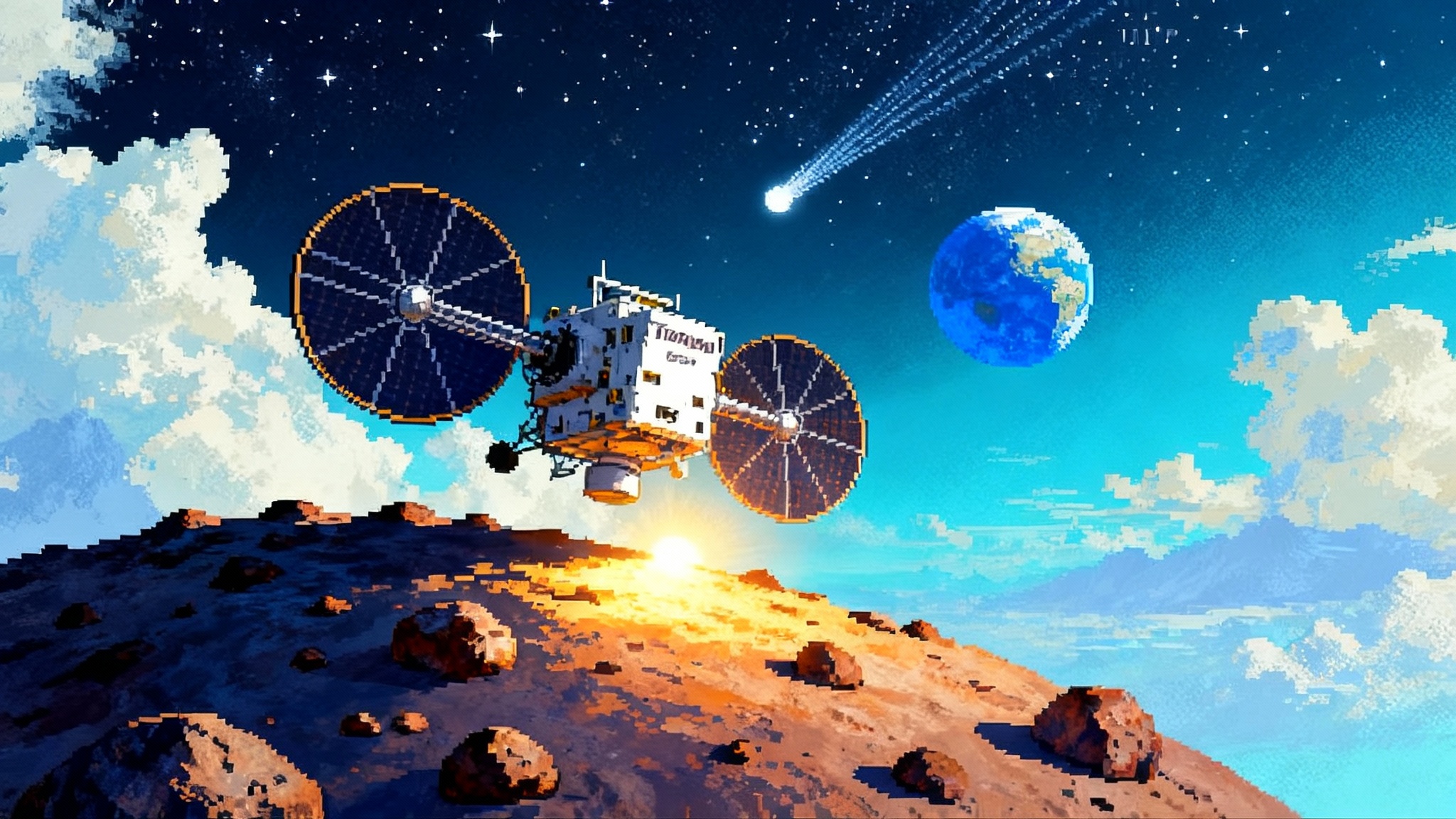
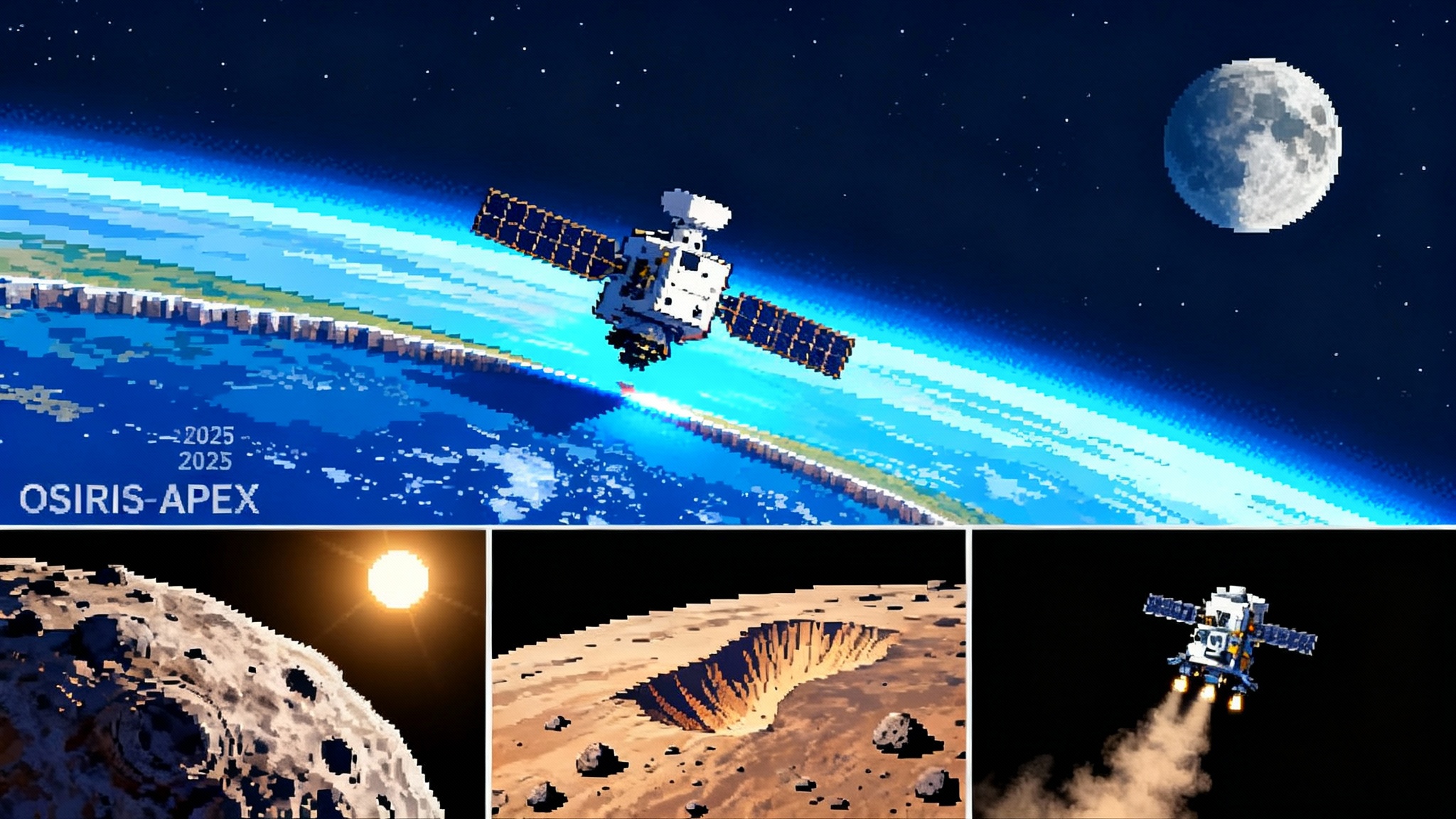
On September 30, 2025, Blue Origin and the Grand Duchy of Luxembourg introduced Oasis-1, the opening act of a multi-mission campaign to find, assess, and eventually use lunar resources from orbit and on the surface. In the company’s words, Oasis-1 aims to produce the most detailed orbital maps yet of water ice, helium-3, and metal-bearing geology, focused on the polar regions that matter most for energy and logistics. That mission brief is not pie-in-the-sky marketing. It is the first concrete step toward a lunar supply chain that starts with prospecting and ends with fuel, power, and materials made on the Moon. Blue Origin unveils Oasis-1 mission.
At the heart of Oasis-1 is a simple bet: better maps change behavior. In the same way that the first detailed nautical charts rerouted global trade, a high-resolution lunar resource atlas could redirect how agencies and companies design missions. If crews can refuel in lunar orbit or at the surface, they need fewer propellant tons launched from Earth. If landers can target sites where sunlight and ice coexist within rover reach, power systems can be lighter and simpler. If manufacturers can melt regolith where it is richest, power cables and solar cells can be made locally rather than launched at great cost.
What makes Oasis-1 different: ultra low means ultra useful
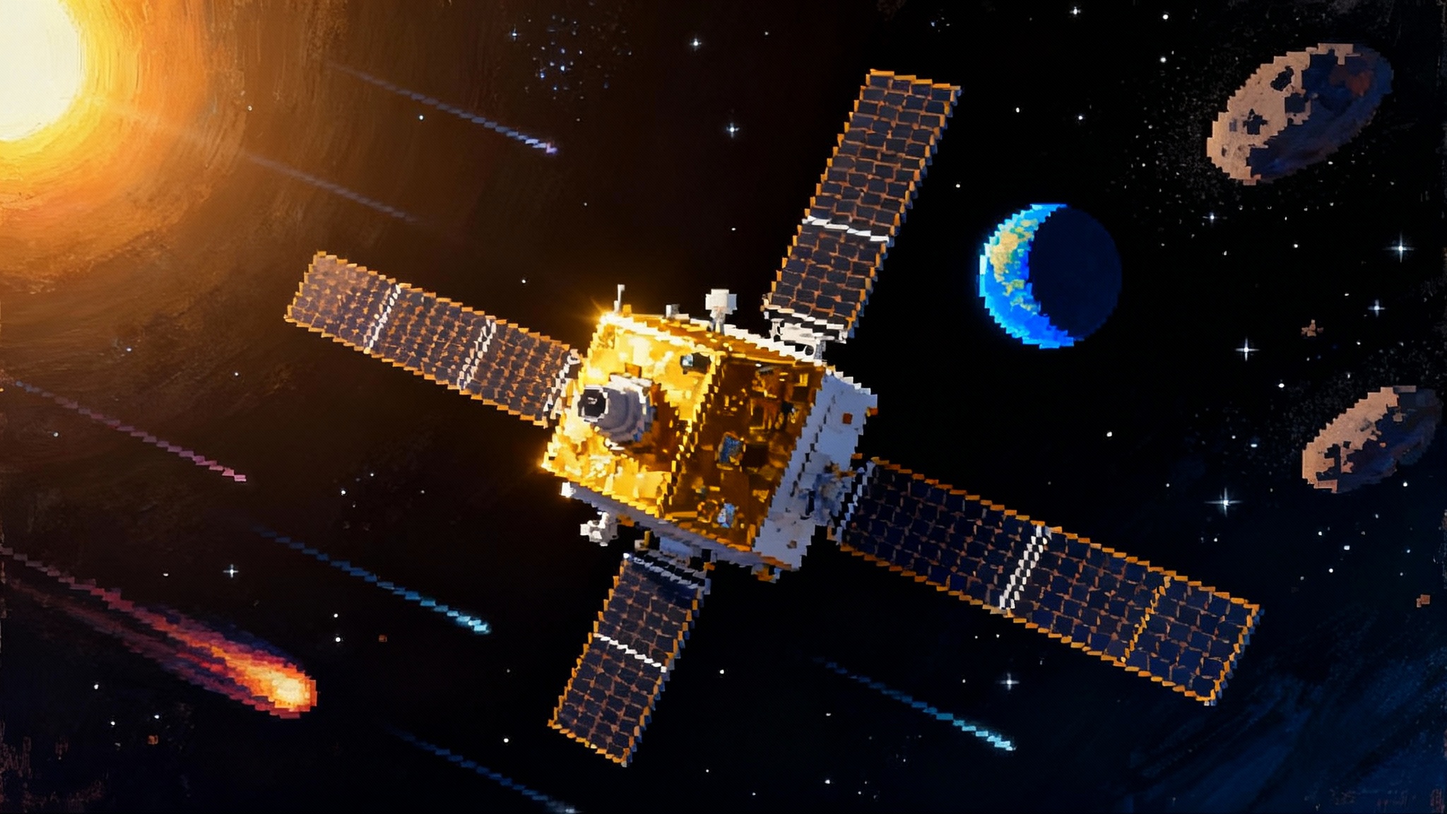
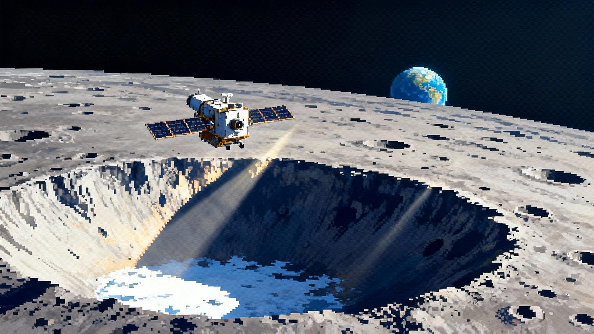
Plenty of spacecraft have looked at the Moon. What Oasis-1 adds is how it plans to fly. The mission concept calls for an ultra low polar orbit that repeatedly passes close to the surface. Lower altitude means sharper detail. Think of the difference between a highway map and a city street map. Past global maps often showed where volatiles might exist across hundreds of square kilometers. An ultra low orbiter can shrink that uncertainty to features a lander can actually reach.
Oasis-1’s instrument kit is tuned for resources, not just scenery:
- Neutron spectroscopy to sense hydrogen signatures down to roughly a meter beneath the surface. Hydrogen is the telltale for water ice. By flying low and slow over poles, the spectrometer can sharpen the blurry blobs of older maps into specific zones that a drill or bucket wheel could target.
- Magnetometers to sniff out variations linked to metal-bearing formations. They will not identify specific ores in one pass, but paired with terrain context they highlight where metal-rich regolith or buried basalt flows could justify a closer look.
- Multispectral imaging to track mineral fingerprints and the distribution of helium-3 trapped in surface grains by the solar wind. Helium-3 is scarce and hard to extract, but mapping it also helps map the history of surface exposure and space weathering, useful for both science and operations.
Blue Origin also describes controlled impact sequences to maximize data return. One tactic is to use expendable components or small deployed masses to kick up regolith on purpose, then observe the plume to estimate volatile content. Another is to end the mission with a deliberate impact and watch the ejecta. NASA’s LCROSS proved the value of this approach; the novelty here is doing it with a small, resource-focused orbiter that has spent months homing in on the most informative targets.
Why maps move markets: from ice to oxygen to propellant
Water ice is the first domino. Split H2O with electrolysis and you get oxygen and hydrogen, which are both propellant and life support. Oxygen alone is the heaviest part of most chemical propellants. If you can make it on the Moon, every kilogram you do not launch from Earth multiplies the payload you can send to deep space.
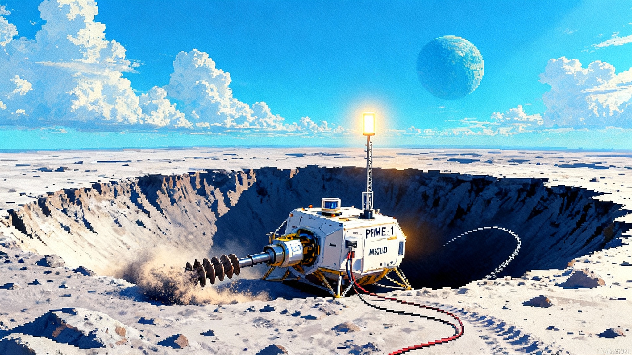
Once you believe in local propellant, you plan missions differently. You do not design a lander to carry round-trip fuel. You design it to land light, work, and refuel for ascent. You do not size power systems for worst-case survival at a random site. You choose a site where sunlight patterns and terrain allow cables or short rover hops to ice, then scale power for that reality. You do not assume every kilogram of construction material must come from Earth. You develop processes to turn regolith into useful products.
Blue Origin has been public about one such process, a program called Blue Alchemist, which aims to make oxygen, solar cells, and power cables from simulated lunar soil. Oasis-1 slots into that plan by telling engineers where to try these things first and what the local resource numbers look like. Blue Origin also argues that in-space refueling and local materials could cut the cost of deep space missions by as much as 90 percent. That is an attention-getting figure, and the only way to test it is to replace guesses with measurements in the places where the math could close. For how operations culture changes when logistics become routine, see our take on Starship’s shift to operations.
Why Luxembourg is in the room
Luxembourg is a small country with an outsized presence in space. Its space agency helped catalyze Europe’s commercial satellite sector and now backs space resources research through the European Space Resources Innovation Centre. Oasis-1 taps that network. GomSpace, which has a Luxembourg arm, is part of the effort. Blue Origin has set up an international office in Luxembourg and a Space Resources Center of Excellence in Los Angeles that will anchor the mission. The political message is clear. Space resources will be international from the start, so build the map with partners who will also build the rules and the markets. Luxembourg outlines its Oasis-1 role.
Artemis, commercial landers, and the new division of labor
Artemis is a program, not a single mission. It needs reliable logistics that run even when crewed flights slip. That is where a resource atlas helps right away.
- For NASA’s human lander providers, including Blue Origin’s Blue Moon and SpaceX’s lunar Starship, better maps turn landing site selection into an engineering trade rather than a gamble. If a site offers confirmed ice within a rover’s day trip, that can change the mass budget for ascent tanks and surface systems. For context on surface mobility, see our piece on the Artemis south pole rover.
- For commercial landers from Intuitive Machines, Astrobotic, ispace, and others, Oasis-1 adds a way to sell reconnaissance missions that plug directly into a mining or refueling plan. A lander is more valuable if it is not just a science visit but the first touch in a development pipeline informed by specific resource grades.
- For the Gateway in near rectilinear halo orbit and for depots that will eventually live in cislunar space, knowing where and when surface propellant can flow matters as much as knowing how to store it. A refined resource map makes it possible to size tanks, commit to delivery windows, and write real contracts.
It is also worth noting the context. NASA’s VIPER rover was canceled in 2024 after cost growth and schedule slips, and several lander missions have struggled. Orbital reconnaissance that is relatively low cost, repeatable, and focused on prospecting is a sensible next step. It buys down risk for the next wave of surface hardware and creates a common set of facts for government and industry.
What ultra low orbit really takes
Flying low around the Moon is hard. The Moon’s lumpy gravity field tugs orbits out of shape. At low altitudes, small errors grow fast. That drives a few engineering realities that matter for schedule watchers:
- Station keeping fuel is a design driver. If Oasis-1 truly flies at very low altitude for long periods, it will need a guidance and propulsion strategy that keeps the perilune from dipping too far. That means careful navigation, frequent small maneuvers, and enough propellant margin to ride out anomalies.
- Thermal and power cycles at the poles are tough. The spacecraft will fly through long, cold shadows and harsh sunlight on every lap. It must handle rapid temperature swings while keeping instruments stable enough to collect clean data.
- Communications must thread narrow windows. Low polar orbits can create short, frequent contacts. Ground systems and onboard autonomy must be squared away early so operations can keep up when the data starts to pour in.
None of these are new problems, but solving them together on a small, resource-focused orbiter is an exercise in systems engineering. The upside is equally clear. Solve them once, then iterate quickly. A small fleet of Oasis-type orbiters could revisit seasonal frost, test different altitudes, and follow up on tantalizing anomalies found in the first campaign.
The economics: how better data turns into bankable projects
Investors do not fund mines or refineries based on cartoons. They want grades, tonnage, and access. On the Moon that translates into three numbers that Oasis-1 can help pin down:
-
Concentration and depth of volatiles. Neutron data refined by low altitude passes can constrain how much hydrogen is present and how deep it sits. That narrows the power and equipment needed for extraction.
-
Geographic coherence. Are the best patches clumped within a few kilometers or scattered across a harsh crater rim? That determines whether a single lander with a short-range rover can do the job or whether you need multiple sites connected by power or transport lines.
-
Seasonal behavior. Some cold traps are stable, others breathe with sunlight and shadow. A months-long campaign can reveal whether a site produces steady water or only during certain thermal conditions. That drives equipment duty cycles and storage designs.
With those three in hand, builders can draw real boxes on real block diagrams. Tank sizes, cable lengths, excavator duty cycles, electrolyzer throughput, boil-off mitigation for cryogenic propellants, and delivery timetables for depots can all be sized with fewer safety factors. For a science-driven look at how new data reshapes lunar thinking, see our review of Chang'e-6 heat map findings.
The concrete milestones to watch in the next 12 to 24 months
Oasis-1 does not yet have a public launch date, so the best way to track progress is to watch for the gates every successful planetary mission must clear. Here is a checklist, in order, with what each item actually signals.
- Mission design review complete. Signals that the team has locked a baseline orbit strategy, target latitude bands, and instrument pointing plan. Expect updated performance numbers for mapping coverage and resolution.
- Payload selection and environmental test plan. Confirms the flight spectrometer, magnetometers, and cameras are frozen, with calibration targets defined. Look for thermal vacuum, vibration, and radiation test schedules to be published or hinted at in partner updates.
- Bus and avionics integration start. When GomSpace or another bus provider begins stacking structure, power, and computers, the clock is truly ticking. This is when mass margins get real and the team burns down risks that only appear when hardware meets hardware.
- Ground segment and operations rehearsal. Expect news about ground stations and network coverage, plus hardware-in-the-loop tests that run the flight software against real instruments or emulators. This is the time to solve autonomy, fault management, and low-altitude navigation in the loop.
- Launch vehicle selection and mission profile. A direct translunar injection on a heavy launcher is the simplest path. A rideshare with intermediate propulsion is another option. The choice will telegraph arrival timing, cruise duration, and fuel margins for station keeping.
- Frequency coordination and regulatory filings. Dry but important. International Telecommunication Union filings and national licensing confirm that radios, power levels, and bands are cleared. These often appear in public registries before a press release.
- Shipment to the launch site. A short, punchy press note, often with a photo of a wrapped spacecraft in a cleanroom container. This tells you environmental tests are complete and the mission has moved from engineering to operations.
- Commissioning reports after launch. Early telemetry on power, thermal behavior, and navigation sets expectations for mapping performance. When the team declares the first low passes nominal, you know the science and prospecting phase has started.
If the team hits those marks, the first resource products could appear within months of arrival. Expect global coverage maps early, then progressive refinement over priority sites. By the second or third data release, landing site teams will start sharpening their requirements around what the maps reveal.
Helium-3, hype, and how to read those maps
Helium-3 often steals headlines. It is a potential fuel for future fusion reactors, though the engineering path is long and the extraction on the Moon is nontrivial. As a mapping target, helium-3 is valuable even before anyone mines it. Its distribution helps locate surfaces that have been exposed for a very long time. Those surfaces can be simpler to work with for some processes and harder for others, and they shape where you place long-lived infrastructure.
Metals are similar. The Moon does not have copper veins in the way Earth does, but variations in iron and titanium content, plus magnetic anomalies, point to basalts, impact melt, and buried fragments of differentiated rock. Those are practical clues for where to run early pilot lines that melt and sinter regolith into parts.
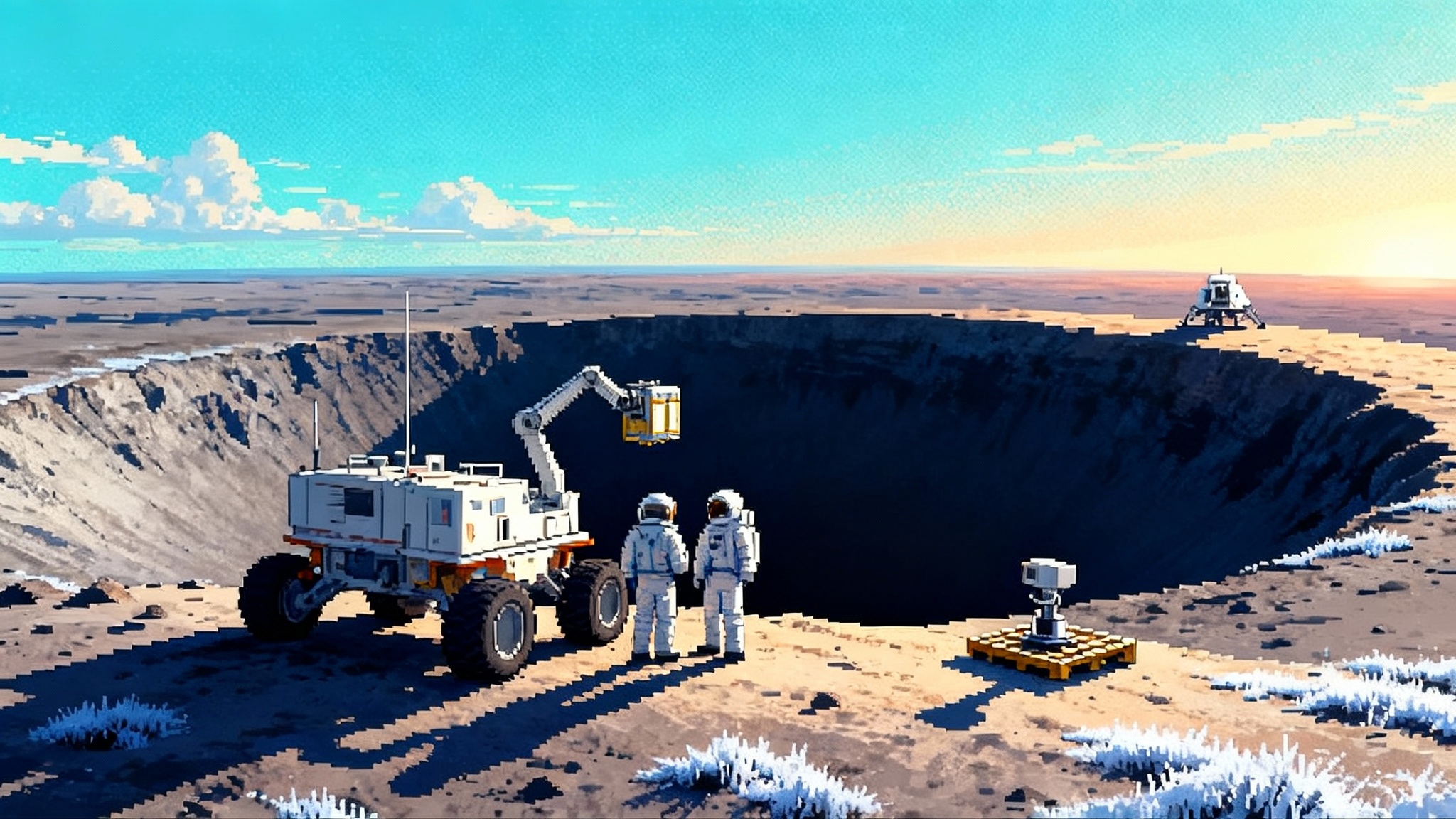
How this meets Artemis on the ground
When crews return to the Moon, they will not arrive at a blank slate. They will inherit a map that tells them where a mobile drilling rig should go first, where a small electrolyzer makes the most sense, and where to pull power cables so that robots can work in permanent shadow. Oasis-1 is designed to make that map.
It also changes the conversation with commercial partners. A lunar lander company can sell a package that lands on a patch already scored for resource quality. A rover company can offer routes and duty cycles backed by orbital measurements. A depot operator can propose delivery windows that match seasonal frost behavior. Instead of arguing about assumptions, everyone can negotiate against the same grid.
The bottom line
Oasis-1 is a prospecting mission with a business plan attached. If it flies as advertised, it will replace vague targets with actionable coordinates. That turns in-situ resource utilization from concept art into a pipeline. First you find the right patch. Then you dig, split, melt, and store. Then you sell. The winners will be the teams that use better maps to simplify designs and shorten learning cycles.
The Moon is not just a destination. With Oasis-1 on deck, it is starting to look like a network. The maps come first.