The asteroid that slipped under our satellites at 428 km
A couch-size asteroid crossed the same altitudes as the ISS and mega-constellations at just 428 kilometers. Here is what we missed, what it really threatened, and a 24-month plan to detect the next one before it arrives.
The rock that threaded Earth’s needle while we slept
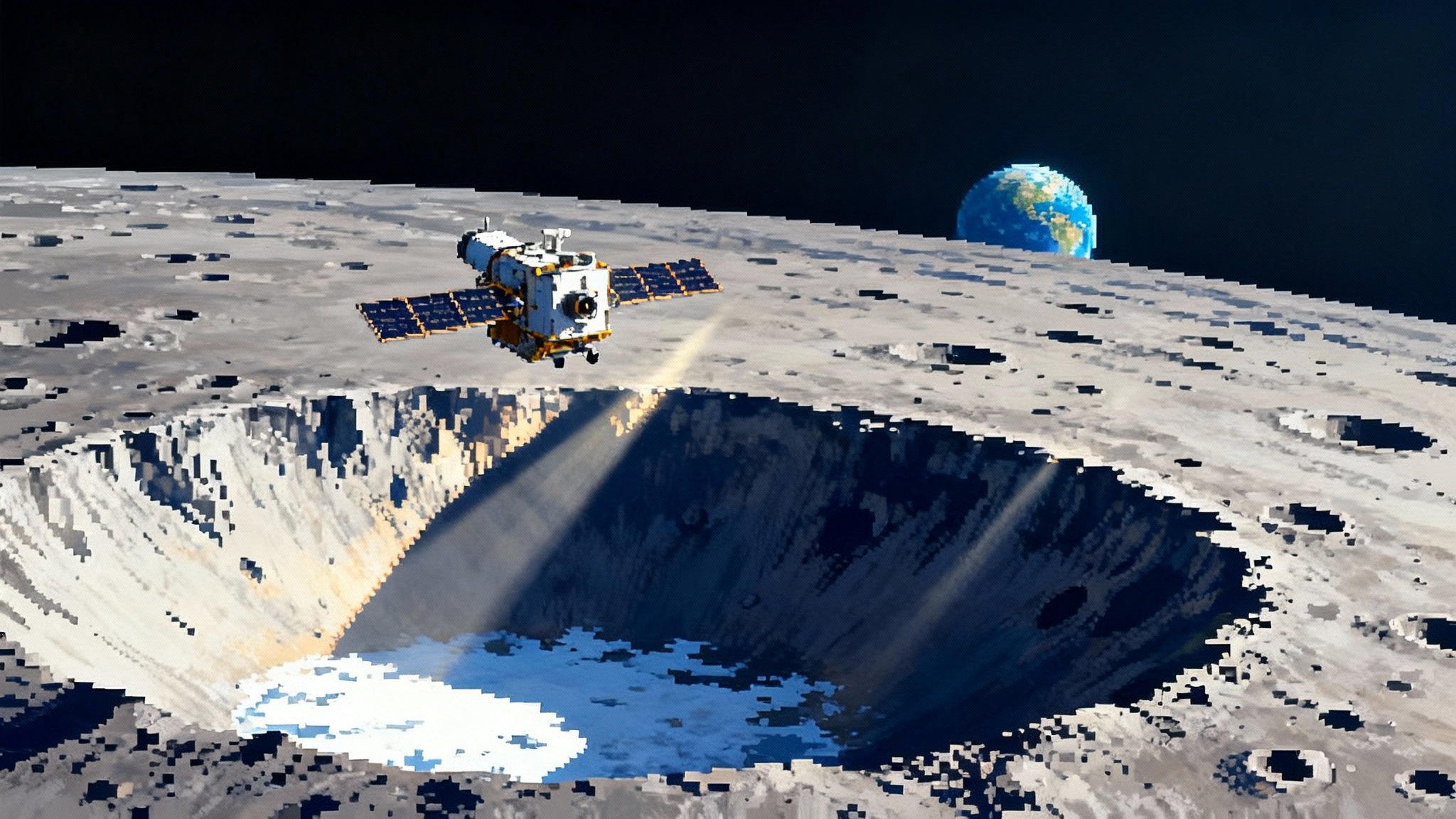
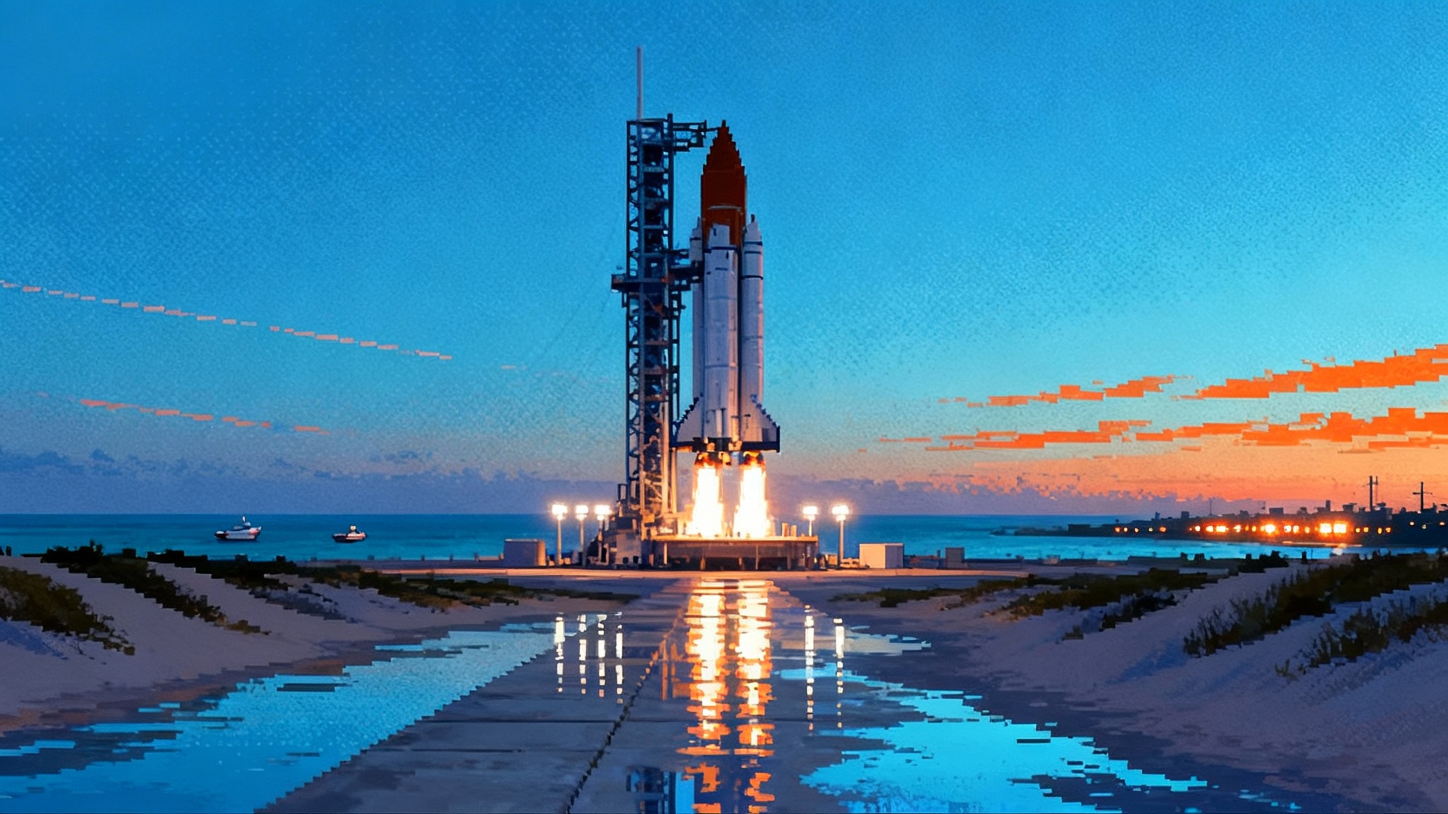
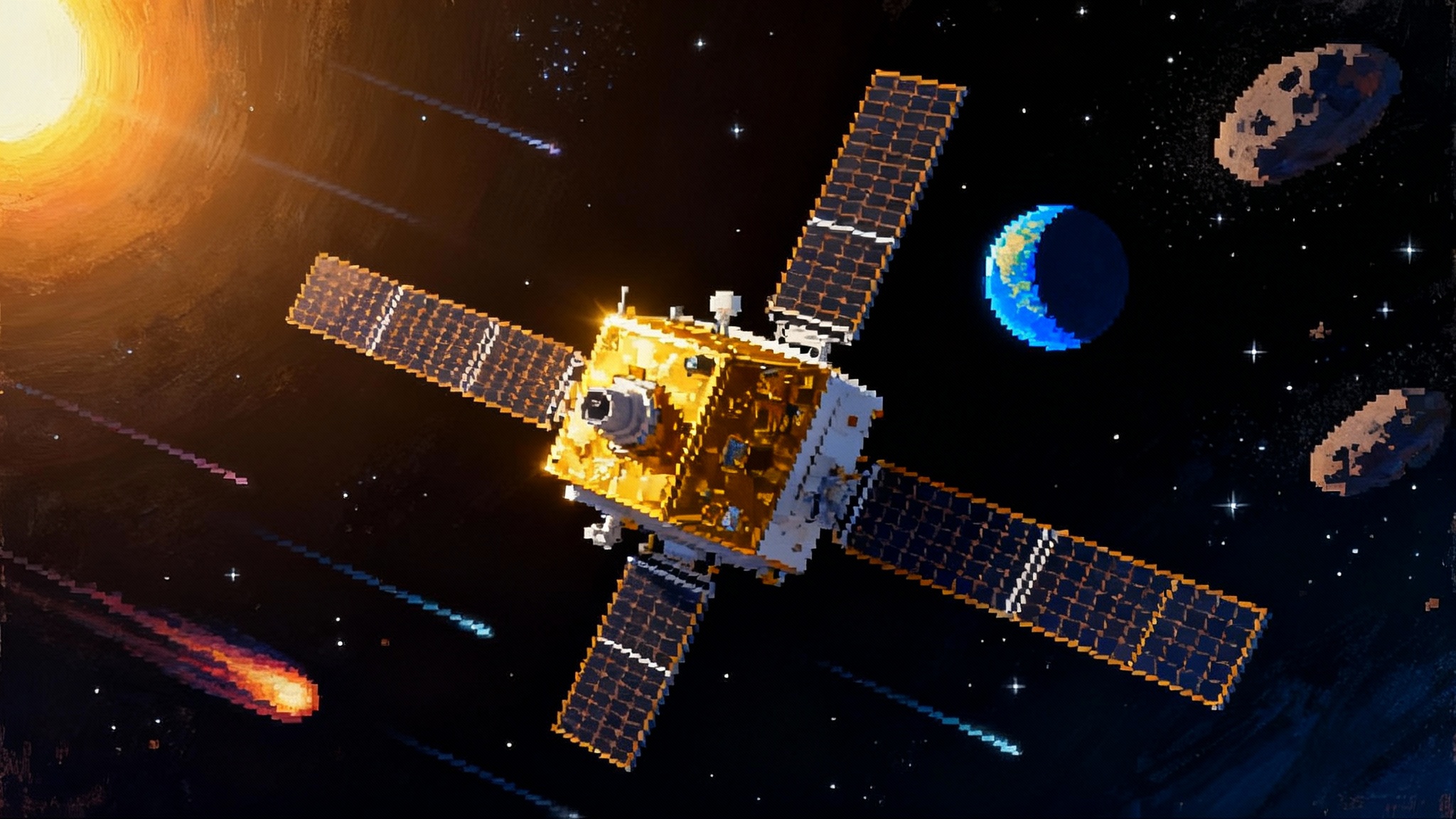
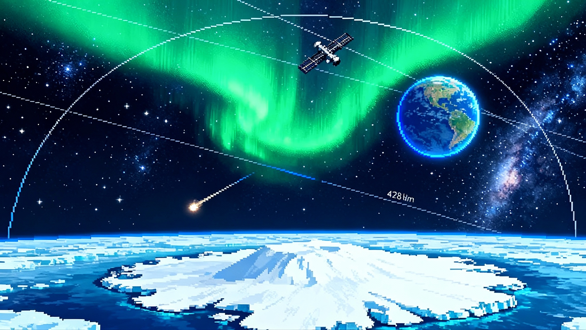
At 00:47:26 Coordinated Universal Time on October 1, 2025, a space rock about the size of a couch shot over Antarctica at highway speeds for the cosmos. Its closest approach was just 428 kilometers above the ice. That is not outer space in the way most people imagine it. That is the neighborhood where human hardware lives. The International Space Station loops between roughly 370 and 460 kilometers. Companies place thousands of satellites in the 340 to 550 kilometer band to watch Earth and beam internet. This intruder, designated 2025 TF, skimmed right through that vertical lane. We learned about it only hours later, when the Catalina Sky Survey in Arizona spotted the faint trail and scientists ran the clocks backward to reconstruct the flyby. The European Space Agency then refined the trajectory with follow-up observations, confirming the distance and timing with a precision of seconds and kilometers. It now stands as the second closest non-impacting asteroid flyby ever recorded, after a 2020 pass over the South Pacific. ESA confirms 428 km skim set off a round of sober questions.
How did a natural object dip into the same altitudes we reserve for our most precious satellites and we only realized afterward? What does this say about how we watch the sky, and what must we build next so the third closest pass is caught before it happens, not after?
What 428 kilometers looks like
Picture a layered wedding cake around Earth. The lowest layer is the stratosphere and above that the thermosphere, where the trace atmosphere is still enough to slow satellites. Now suspend a circular race track around the planet. At roughly 400 kilometers sits the track where astronauts live and work. Just above and below are the shells where Starlink, OneWeb, Earth observation constellations, and weather satellites race in synchronized lanes. There are gaps between lanes, but there are also crossings and inclinations that bring many vehicles over the poles.
That is why Antarctica matters. Polar and Sun-synchronous satellites slice over the poles on every orbit. The South Pole region is a busy celestial intersection. On October 1, 2025, a one to three meter rock used that same airless intersection. If a jellybean fell through a crowded swarm of hummingbirds, the odds of a hit would still be tiny. Scale both up with orbital speeds of several kilometers per second and the stakes start to feel different. Even if the absolute risk of a single collision was very low, the proximity illuminates a blind spot. This is shared airspace for satellites and nature.
Why we missed a couch size rock
The human eye sees brightness. Telescopes see brightness too. But brightness is a poor proxy for size when the object is a dark boulder in a moving spotlight. Meter-class asteroids are faint until they are uncomfortably close. Here are the practical reasons today’s leading optical surveys sometimes miss them until late.
- Size and reflectivity. A two meter rock has the reflective area of a small car. If it is made of carbon rich material, it reflects sunlight poorly. That dims it by orders of magnitude compared to the same object painted white.
- Geometry. Optical telescopes avoid pointing too near the Sun to protect instruments. Asteroids arriving from the sunward side are backlit. It is like trying to see a black bird flying in from the direction of the setting Sun. You will not spot it until it is almost on top of you.
- Speed and smear. Close approach means faster motion across the sky. Long exposures that reveal faint objects also smear fast streaks into near invisibility unless software is tuned to find them.
- Weather and time. Most optical surveys are subject to clouds, moonlight, and night. The sky never stops, but our best wide field eyes blink.
Catalina, Pan-STARRS, ATLAS, Zwicky Transient Facility and a global web of professional and amateur observers catch thousands of small near Earth objects every year. Yet October reminded us that the smallest, fastest, darkest visitors are still capable of sneaking through the fence.
How dangerous was 2025 TF really
For people on the ground, not very. A meter-scale object hitting the atmosphere deposits its energy in the upper air and usually breaks apart as a bright fireball. Small fragments might reach the ground but the event is loud, not catastrophic.
For the machines we have placed in the same altitude band, the risk scenario is more interesting. A rock on a hyperbolic path crosses an orbital lane once, at speed, and keeps going. Satellites traverse that lane every 90 minutes. The overlap in space and time is brief, so the instantaneous collision probability is tiny. But as the population of satellites grows, and as we learn that some natural objects can transit those lanes with little warning, a new class of conjunction emerges. The right response is not panic. It is instrumentation and plumbing.
Four upgrades the world can deliver within 24 months
October’s wake up call points to specific, buildable improvements. None require a moonshot. All can be pursued in parallel, and many leverage hardware that already exists.
1. Thermal infrared sentinels that never blink
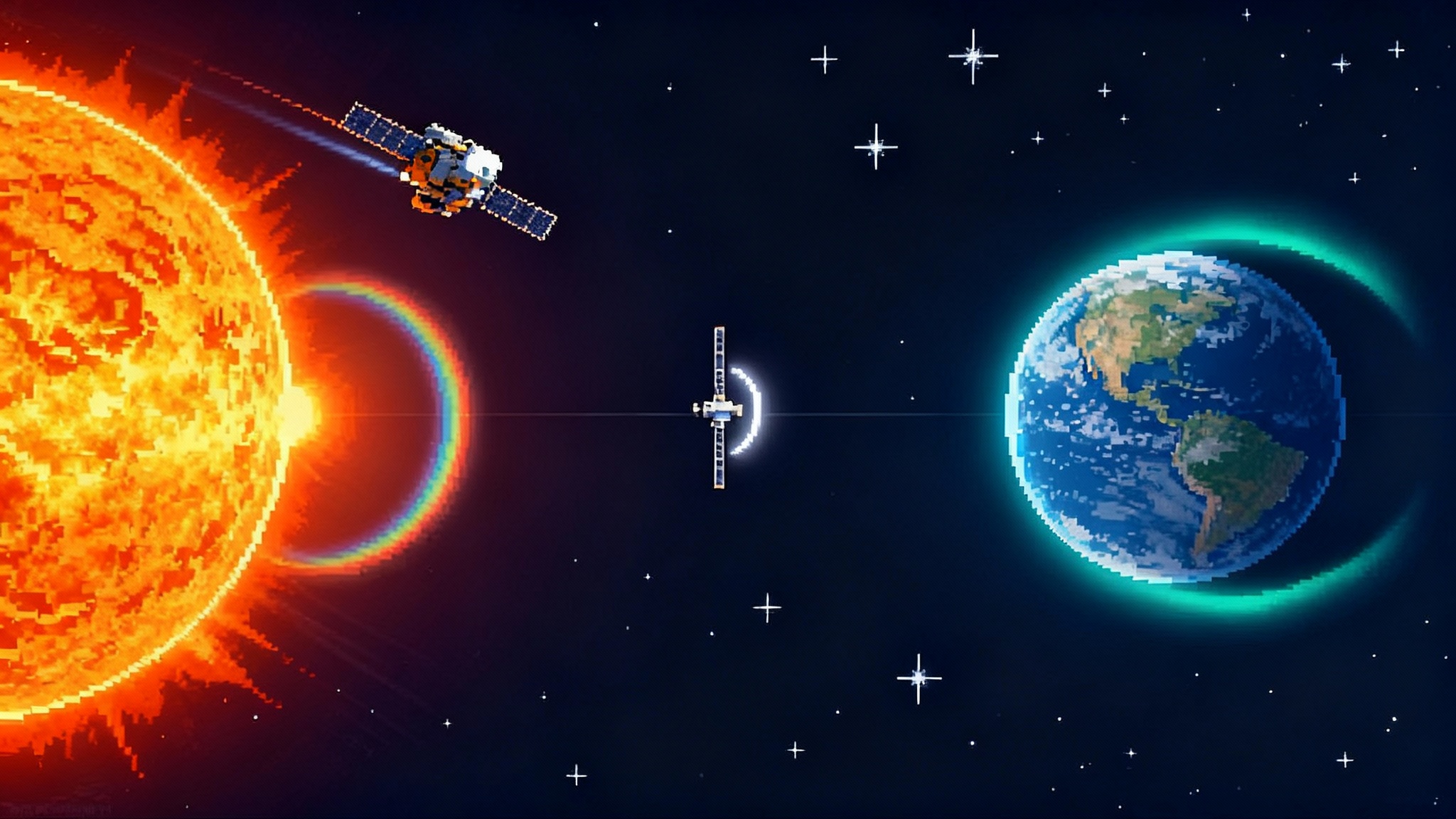
Telescopes that see heat rather than reflected sunlight can spot dark asteroids against a bright sky, including those arriving from the sunward direction. The world lost a valuable infrared eye after NASA’s NEOWISE mission ended. The next dedicated infrared hunter, NEO Surveyor clears CDR, is slated for a late decade launch. We do not have to wait idly.
- Host pathfinder sensors. Weather and climate satellites already carry long wave infrared instruments tuned for Earth. A modest hosted payload in a high inclination orbit could test all-sky thermal detection of fast movers, even if only as a limited-time technology demonstration.
- Build a smallsat pair. A two-spacecraft microsat formation with uncooled mid-infrared detectors and a scanning strategy can run a continuous sentinel experiment for a fraction of a flagship mission’s cost. The output would not be a complete catalog. It would be a real-time alert feed for surprise close approaches.
- Use balloon platforms. High altitude balloons over the Atacama or Antarctica can loft stabilized infrared cameras above almost all water vapor for months, bridging the gap between ground telescopes and orbital sensors during key seasons.
The goal by the end of 2026 is not to replace NEO Surveyor. It is to prove that a continuous thermal watch stream is practical and ready to scale.
2. Commercial wide field radar as a searchlight
Radars built for space traffic already scan the skies without regard to clouds or daylight. The United States Space Force operates Space Fence in the Marshall Islands for debris and satellite tracking. Commercial companies operate phased array radars for resident space objects, especially in low Earth orbit. Those systems prioritize known artificial targets, but many can operate in an uncued wide search mode. This builds on the monitoring momentum we covered in Solar Radar Era Begins.
- Commission pilot modes. Partner with radar operators to run scheduled search windows optimized for fast, non-maneuvering natural objects, especially over the poles. Measure detection rates for objects with cross sections between a decimeter and a few meters.
- Tune the filters. Debris radars are trained to ignore natural meteors. Flip the logic for brief periods. The objective is not to catalog rocks. It is to prove that a radar picket can raise its hand when something unfamiliar crosses orbital lanes.
- Share quick looks. Fuse radar quick look detections with optical streak reports to triangulate trajectories within minutes. Even a single extra alert during a rare close pass is worth the effort.
3. AI streak detection across global sky cameras
Around the world, meteor and all-sky cameras pour out images to local servers and hobbyist forums. The Global Meteor Network, CAMS, AllSky7 and university networks already produce science-quality fireball records. Artificial intelligence can unify and accelerate this.
- Train on streaks. Use public image archives to train a lightweight model that flags fast, linear streaks even under Moon glow and thin cloud. Ship the model for free to every operator who opts in.
- Create a one-minute loop. When two or more cameras in a region report correlated streaks within 60 seconds, publish an automated trajectory guess. The guess does not need to be perfect. It is enough to cue telescopes and radars to look in the right place.
- Reward latency. Offer small grants or cloud credits to teams that can demonstrate sub-minute ingest, detection, and publish times using commodity hardware.
The cost is low, the software is approachable, and the impact is immediate. Every participating camera becomes a pixel in a planet-scale motion detector.
4. A single alert pipe for nature and traffic
Operators already subscribe to conjunction alerts to avoid satellite-to-satellite misses. What they do not get today is a routine warning when a natural object is about to cross their shell. The plumbing to deliver this exists. The Office of Space Commerce is standing up the Traffic Coordination System for Space, a public spaceflight safety service that is moving from beta to production in early 2026. See the TraCSS production update.
- Add a natural track. Ingest Minor Planet Center updates and Near Earth Object ephemerides alongside two-line elements for satellites. Label the product clearly as a natural object advisory, with the best available uncertainty and time window.
- Provide shell crossing advisories. Instead of trying to compute a direct collision probability, issue simple shell crossing alerts when any natural object is projected to pass from 200 to 800 kilometers over the poles. Operators of polar and Sun-synchronous fleets can choose to request elevated monitoring for that orbit or pause non-essential maneuvers during the window.
- Publish anonymized after-action reports. When a shell crossing happens, publish a latency score for the combined system from first observation to alert. Use that to improve cameras, radars, and software loops.
The 18 to 24 month checklist
If we are serious about making 2025 TF the last surprise in satellite lanes, we should be equally serious about measuring progress. Here is a near-term watchlist that separates talk from traction.
- Q1 2026. TraCSS production release goes live with a basic natural object advisory feature in test. Success looks like: an opt-in pilot with at least three constellation operators and two government partners receiving natural crossing alerts in their regular dashboards.
- Q1 to Q2 2026. ESA’s Flyeye telescope is installed at Monte Mufara in Sicily and begins nightly survey operations after initial commissioning. Europe’s broader survey push follows Euclid’s 2025 debut. Success looks like: routine public posting of detection stats and at least one high-confidence rapid follow-up of a newly detected small near Earth object in the Southern sky using coordinated telescopes.
- Q2 2026. A two-week radar pilot campaign over the poles runs in cooperation with one national radar and one commercial operator. Success looks like: at least one uncued detection of a natural object above 300 kilometers altitude, with public performance metrics on false alarms and sensitivity.
- Mid 2026. A global AI streak network reaches 1000 active cameras with sub-minute automated trajectory estimates for correlated streaks. Success looks like: independent teams reproducing a trajectory within five minutes using open code and posting a public latency dashboard.
- Mid to late 2026. A small hosted mid-infrared payload flies as a piggyback on a weather or Earth science satellite, with a public release of on-orbit sensitivity and false positive rates for fast movers. Success looks like: a pathfinding paper that quantifies how a future multi-satellite thermal network would perform on sunward arrivals.
- Late 2026. NEO Surveyor hardware hits key integration and environmental test milestones, clearing the program to maintain a late decade launch. Success looks like: a formal status update that the instrument has completed thermal vacuum testing with performance that meets or exceeds preflight models.
- Rolling 2026 threshold. A joint alert exercise between ESA’s Planetary Defence Office, the Office of Space Commerce, and at least two commercial space traffic providers demonstrates an end-to-end alert for a simulated close polar crossing by a small natural object. Success looks like: a public technical note with timestamps at every hop from first observation to operator alert.
What companies and agencies can do next
- Radar operators and analytics firms. Offer one week per quarter of uncued search time and publish detection statistics. If you run Space Domain Awareness services, lean on your machine learning teams to build a natural object mode. If you publish catalogs, include a natural flag and a confidence score.
- Telescope surveys and professional networks. Expose real-time streak candidates through a single machine-readable feed with timestamps and basic metadata. Invite the AI community to compete on latency and accuracy. Reward teams that can deliver robust results on off-the-shelf single-board computers.
- Constellation operators. Add natural object advisories to flight rules. During a shell crossing window, pre-approve small attitude adjustments or switch non-essential satellites into a passive mode that reduces cross-sectional collision risk.
- Funders. Prioritize small, fast experiments over large, slow designs. A two-satellite thermal pathfinder and a radar pilot can be done for a fraction of a flagship mission, and together they reduce overall risk.
What this wake up call really means
2025 TF did not threaten cities. It did something subtler. It crossed a line in our heads about where nature ends and our infrastructure begins. We learned that the line is artificial. Space near Earth is not ours. It is a shared volume that we enter with machines and that nature visits on its own schedule. The right response is not fear and it is not a shrug. It is instrumentation matched to the problem, software that delivers the right alert to the right console, and a culture of measuring what matters.
If we do that in the next 24 months, then the next time a couch-size rock tips its hat at the South Pole, we will see it coming and our satellites will be ready. That is the upgrade worth buying.