Moon’s First GPS Fix Begins the Lunar Navigation Economy
In March 2025, a LuGRE receiver on Firefly’s Blue Ghost computed the first GPS and Galileo position from the Moon. That breakthrough unlocks a positioning, navigation, and timing layer that can make lunar landings, rovers, and logistics routine.

A first fix, 225,000 miles from home
On March 3, 2025, engineers at NASA and the Italian Space Agency watched a quiet line of data turn into a historic first. The Lunar GNSS Receiver Experiment, LuGRE, riding on Firefly Aerospace’s Blue Ghost lander, acquired signals from both GPS and Galileo and solved for its position on the lunar surface. One small receiver computed a full position, velocity, and time solution on Mare Crisium. It was the first navigation fix from Earth’s satellite navigation systems ever achieved on the Moon, and NASA has documented the moment as a milestone for exploration and autonomy on and around the Moon. See the agency’s account of the first navigation fix on the Moon.
This success did not arrive by accident. LuGRE was built by Qascom in Italy with NASA support. It uses a high gain steerable antenna and sensitive digital signal processing to find the faint side lobes of Earth’s Global Navigation Satellite System signals. The team had already set distance records while cruising to the Moon and in lunar orbit. Hours after Blue Ghost’s touchdown on March 2, a carefully timed sequence powered and pointed the receiver, and a four satellite solution blinked green.
A single navigation fix seems simple. In reality it is the missing spark that turns a patchwork of lunar missions into an economy. A shared layer for positioning, navigation, and timing (PNT) is the unseen utility that makes precision landings, autonomous rovers, resource prospecting, and the logistics of the Artemis campaign practical and affordable.
Why a PNT layer changes everything
Think of the Moon like a new inland sea. The first explorers hug the coast and move by sight. Commerce arrives only when there are lighthouses, harbor lights, and charts that everyone trusts. PNT is the lunar version of that invisible infrastructure.
-
Precision landings: Today, landers use a heavy stack of sensors and careful ground control to find safe ground. A PNT layer lets a lander treat the Moon more like an airport approach, with real time ranging that narrows the landing ellipse. That means fewer propellant reserves, smaller sensors, and better odds of touching down next to a science target or a cached payload.
-
Autonomous rovers: Without a trusted reference, rovers creep and check in with Earth. PNT lets them plan loops, avoid hazards, and rendezvous with assets without constant supervision. It is the difference between a remote controlled toy and a self driving field robot.
-
Resource prospecting: Water ice sits in polar craters and in ridges that may offer near continuous sunlight. Precision maps are only useful if every robot can pin itself to that map within tens of centimeters. Accurate timing also syncs multi sensor surveys so that instruments can be fused without guesswork. New context from Chang'e-6 far side samples will matter more when positions and times align across missions.
-
Artemis logistics: Supply chains break down without location and time. A PNT layer enables scheduled deliveries to depots, traffic coordination on ascent and descent paths, and synchronized operations among crews, landers, and tugs. It also underpins safety systems like geofencing around hazardous zones. As heavy lift evolves, Starship’s 2025 pivot on refueling will shape how often and where cargo flows.
LuGRE proves that Earth’s constellations can serve as the seed of that layer. The next 24 to 36 months will determine how quickly the seed grows into a robust service.
How Earth’s GNSS reaches the Moon
GPS and Galileo were built for Earth. At the Moon the signals are much weaker and arrive off the side of the satellites’ antennas. Receivers need three things to make them usable.
-
High gain, smart pointing: LuGRE’s antenna concentrates on the section of sky near Earth. That trades field of view for sensitivity and makes faint side lobes usable.
-
Long coherent integration: The receiver stacks many milliseconds of signal to pull timing codes out of the noise. The trick is to do this quickly enough for real time navigation while compensating for relative motion.
-
Best use of geometry: At the Moon, only a handful of satellites are ever in view and they cluster near Earth. That can make dilution of precision large. Software and smart mission design help reduce these penalties, and hybrid solutions that blend inertial sensors, terrain relative navigation, and Doppler from communications links close the gap.
GNSS at lunar distances will not be a standalone solution at every site, all the time. It is the foundation in a layered system that includes lunar beacons and relay satellites.
Standards are forming fast
The Moon will not have one network from one operator. It will be a network of networks, public and commercial, that interoperate. That is the intent of the LunaNet Interoperability Specification, a joint effort by NASA, the European Space Agency, and the Japan Aerospace Exploration Agency. Version 5, published in 2025, adds details for how communications and PNT services share signals, messages, and time across providers. NASA provides the latest information and documents for the LunaNet Interoperability Specification version 5.
LunaNet matters because it lets a rover with a LunaNet compatible receiver use a PNT beacon on the rim of Shackleton crater, a forward signal from a European relay, and a time transfer from a NASA node, without custom work for each mission.
The near term roadmap, 24 to 36 months
What should readers expect between now and late 2028 if space agencies and companies press their advantage from the LuGRE result?
- Extend Earth GNSS techniques into operations
-
From demonstration to service: More receivers like LuGRE will fly on landers and orbiters as low mass hosted payloads. Their job will be to characterize signal availability across latitudes, local times, and terrain, then to provide a usable fix to mission avionics.
-
Better algorithms: Expect rapid advances in weak signal tracking, joint use of multiple constellations, and faster cold starts using on board ephemerides tuned for lunar work. High gain antennas will shrink and gimbals will simplify. Hybrid navigation with terrain maps and star trackers will reduce the need for constant contact with Earth.
-
Modeled availability: Providers will publish coverage maps and dilution statistics so mission designers can plan around gaps. This will mirror aviation, where operators choose procedures based on expected performance rather than hope.
- LunaNet style standards move from paper to procurements
-
Version 5 adoption: Agencies and primes will begin writing LunaNet version 5 compliance into mission requirements. This includes signal in space formats for augmented forward signals, common time service definitions, and interfaces that let users roam across providers.
-
Joint demonstrations: Mixed teams from NASA, ESA, and JAXA will test cross certified time transfer and positioning using relay nodes in lunar orbit and beacons on the surface. The goal is a user terminal that does not care who provides the signal so long as it meets quality standards.
- Commercial PNT beacons arrive as a service
-
Surface beacons at the poles: Small, rugged transmitters mounted on masts near common landing sites can provide strong local ranging and time. Think of them as lighthouses that fill in for weak GNSS geometries. NASA has already exercised beacon concepts on lunar missions and will likely expand these tests into persistent services as commercial deliveries ramp.
-
Orbital augmentation: Relay satellites planned in the latter half of the decade can broadcast forward signals that mimic familiar GNSS message structures. These signals can carry precise time, orbit data, and integrity flags tailored to the lunar environment.
-
Hosted payloads: Landers, communications relays, and even power stations can host small PNT transmitters that conform to LunaNet and publish their location and timing quality. Commercial operators can bundle PNT with communications and sell it as a package.
- Communications and PNT converge
-
One radio, two utilities: Every link that moves data also measures time of flight and Doppler. Providers will leverage this to deliver both connectivity and ranging with the same equipment. That approach keeps user terminals simple and supports navigation even during high traffic communications ops.
-
Cellular and local networks: Experiments with lunar cellular gear and local radios will feed into standard ways to do precise ranging around bases and work sites. Ultra wideband and high rate microwave can provide centimeter level positioning over campus scale areas. These local services will anchor global PNT with known reference points.
What this unlocks on the surface
-
Precision cargo delivery: A lander can drop a 100 kilogram package within 20 meters of a depot instead of a football field away. Loader robots waste less time searching and more time hauling.
-
Safer crew traverses: Astronauts will travel farther with confidence when their suit displays carry precise position and breadcrumb trails synced to orbiting assets and surface beacons.
-
Coordinated fleets: Multiple rovers can work the same crater rim without radio conflicts or collision risks. Shared timing lets them choreograph use of a narrow route, and shared location lets them hand off samples like a factory line.
-
Real resource economics: Prospecting results pinned to a reliable reference frame allow bidding, leasing, and insurance around real assets rather than guesses. Banks and buyers trust operations when the map and the clock are precise.
Technical gaps to close quickly
-
Signal strength and geometry: At many sites there will be long intervals with fewer than four usable Earth GNSS satellites. Simple fixes include predictive scheduling of work to coincide with better geometries, and local beacons that add ranging lines during lean periods.
-
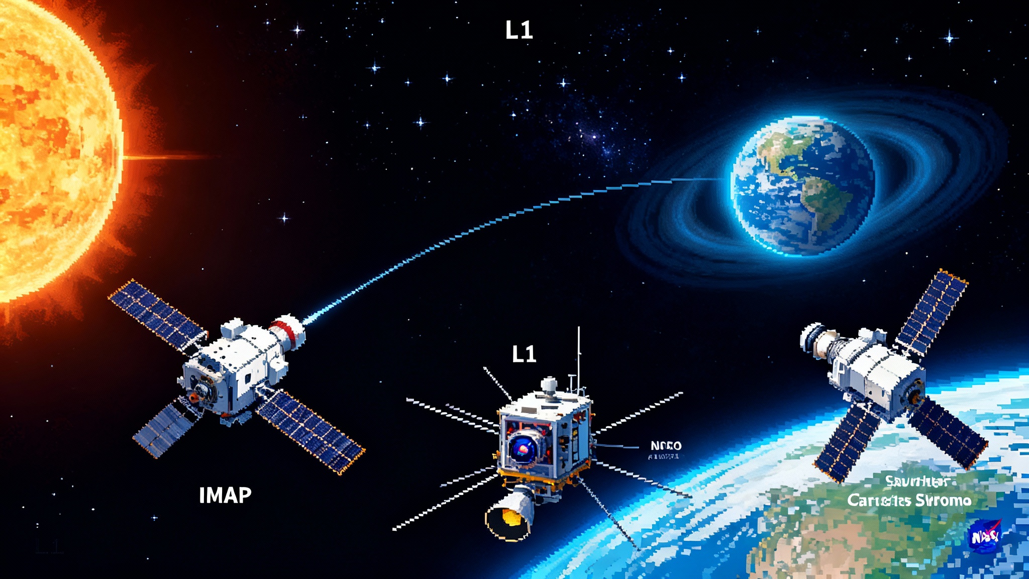
Timing resilience: Coordinated Lunar Time, a standard led by NASA with White House direction, must be implemented in practice, with atomic clocks on the surface and on orbit and a plan to steer timing during communications outages. Without a stable time base, precise positioning and safe handovers between providers will wobble. Resilience also improves when operators pair timing with space weather alerts such as IMAP lifts off at L1.
-
Integrity and alerts: Users need to know when a signal is misleading or down. That calls for integrity monitoring across providers, and a standard way to warn users in time to back out of a landing or pause a traverse. The first generation of lunar integrity will be simple but must exist early.
-
Thermal and dust survivability: Beacons and antennas must survive thermal swings and abrasive dust. Designs should adopt heritage from polar meteorology stations and Mars surface hardware, with realistic margins and replaceable modules.
-
Security and interference: Jamming and spoofing are not only earthly problems. Providers must bake in authentication and interference monitoring, and mission planners must practice recovery modes that do not assume perfect conditions.
Policy choices that will speed or stall the lunar navigation economy
-
Make LunaNet compliance mandatory for funded missions: If an agency writes LunaNet compliance into every relevant contract, the network effect arrives years sooner. That includes publishing test vectors, conformance suites, and open reference implementations so small companies can comply without a staff of standards experts.
-
Allocate and protect spectrum for lunar PNT: The International Telecommunication Union should formalize frequency allocations for surface beacons and forward signals that minimize interference with radio astronomy. On the farside, policy should protect a radio quiet zone and set clear rules for any emissions.
-
Stand up a timing authority at the Moon: Agencies should deploy, share, and govern a small number of lunar atomic clocks that realize Coordinated Lunar Time. This can be international, with reciprocal monitoring and a public record of time steering. It is the anchor for everything else.
-
Buy PNT as a service: Rather than asking every mission to build its own beacons, agencies and primes should contract PNT coverage at key sites from commercial operators. Commitments to purchase will persuade lander firms, relay providers, and base operators to host PNT payloads.
-
Publish coverage and performance maps: Providers should publish predicted and measured coverage, dilution of precision, and integrity data, updated regularly. Users will plan around reality rather than promises, and market pressure will improve the service.
-
Align export controls with interoperability: Spacefaring nations should ensure that LunaNet compatible user terminals and beacons can be exported or shared among partners without months of delay. A lunar economy cannot grow if radios cannot ship.
What to build first
-
A polar PNT starter kit: Three or four mast mounted beacons at one south pole site, a compact forward signal from a relay in a polar orbit, and a set of LunaNet compatible user radios flown on at least two different rovers and one lander. The goal is a 10 square kilometer zone with continuous, integrity monitored positioning and time.
-
A common user terminal: A rugged receiver reference design that fuses Earth GNSS, LunaNet forward signals, and local beacons. Publish the design and a conformance test so rover and lander builders can integrate it quickly.
-
A timing backbone: Two or more lunar clocks, one on orbit and one on the surface, cross checked with Earth and each other. Publish the steering data so users can reconstruct time even after outages.
-
A playbook for precision landing: Procedures and software that let any compliant lander pick a landing site near a beaconed zone, download the latest maps and schedules, and fly a repeatable approach profile that uses PNT cues. Make it boring and reliable.
The bottom line
The Moon now has its first taste of GPS and Galileo. LuGRE’s fix was not just a neat trick, it was proof that the next layer of lunar infrastructure is ready to come to life. Standards exist to make providers interoperable. Early beacons and forward signals can fill geometry gaps. Communications links can do double duty as ranging tools. The policy path is clear, and the need is urgent.
We built highways and power lines on Earth before the traffic and the factories fully arrived. The Moon needs the same approach. Put down the positioning, navigation, and timing layer now, focused on the polar work sites where Artemis and commercial missions will cluster. Buy PNT as a service, enforce interoperability, and measure performance in public. Within three years, the Moon can move from one historic fix to a dependable grid that every mission can use. That is how you turn a landing site into a working world.