IMAP at L1: Mapping our heliosphere for deep-space weather
Launched on September 24, 2025, NASA’s IMAP is cruising to L1 with NOAA’s SWFO-L1 and NASA’s Carruthers observatory to turn last-minute solar alerts into mission-planning forecasts for Artemis and future Mars crews.

Breaking through the weather wall between planets
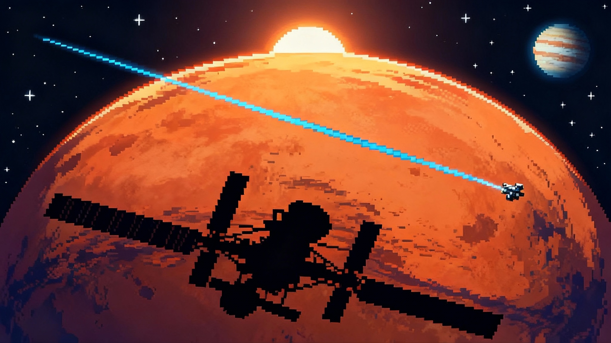
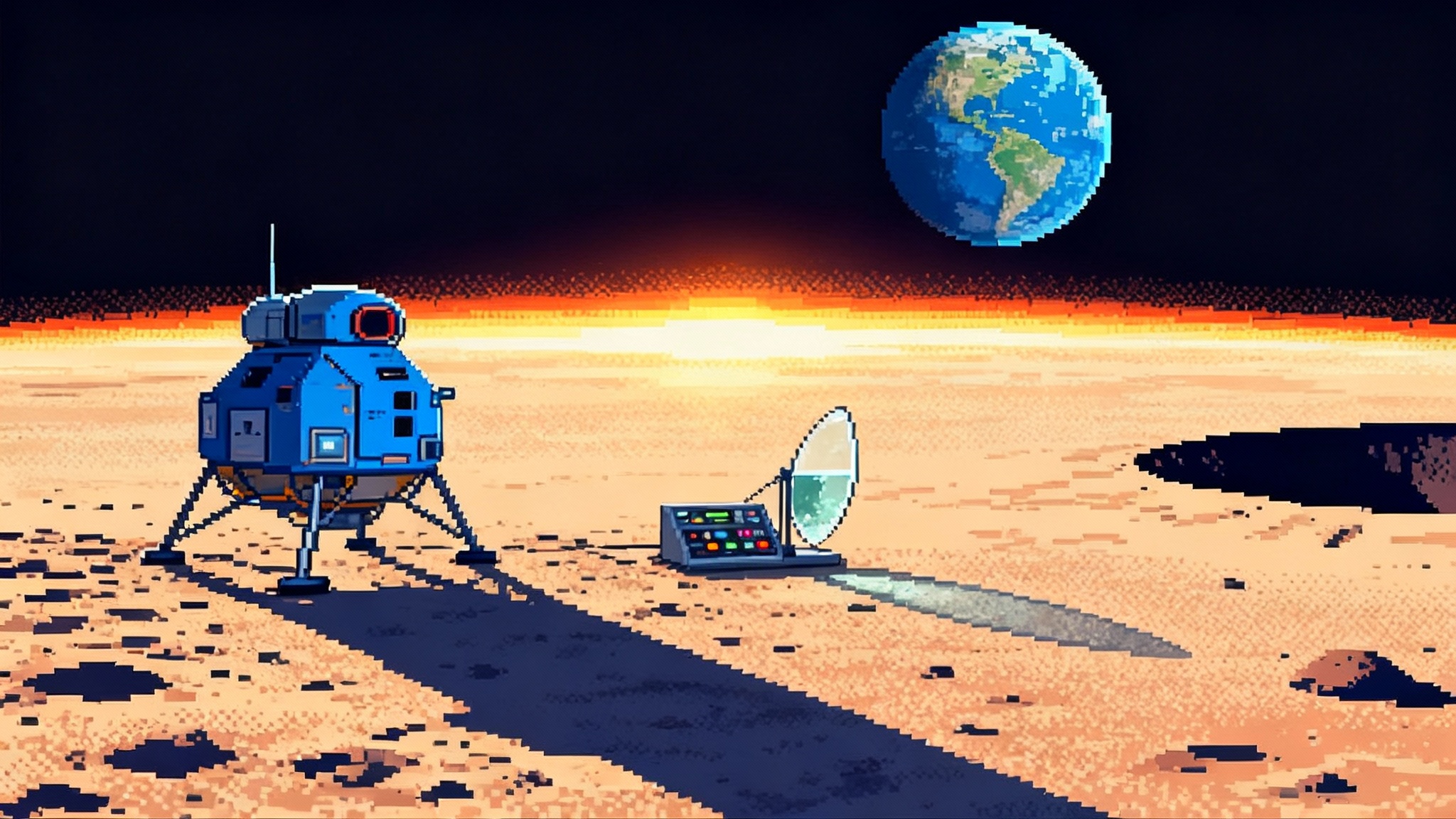
At 7:30 a.m. Eastern on September 24, 2025, a Falcon 9 lifted three spacecraft toward the Sun-Earth L1 point, the million-mile perch where interplanetary weather can be watched upstream of Earth. The headliner is NASA’s Interstellar Mapping and Acceleration Probe, or IMAP. Riding along are NOAA’s operational Space Weather Follow-On L1 observatory, known as SWFO-L1, and NASA’s Carruthers Geocorona Observatory. The launch is more than a science milestone; it is the start of an interplanetary space-weather service designed to transform last-minute warnings into forecasts that mission planners can actually use. See the official NASA and NOAA launch details.
If today’s space-weather alerts feel like standing on a beach waiting to see the wave as it breaks, IMAP and its two companions move us up the cliff with binoculars and a radio. From L1, they will watch the Sun’s outbursts before those disturbances hit Earth, and IMAP will go further by sketching the shape of the heliosphere itself, the protective bubble that modulates radiation throughout the solar system. For lunar and Mars crews, the difference is not academic. It is the difference between scrambling for shelter with minutes of notice and planning extravehicular activities for safe windows days in advance.
Why L1, and why this trio
L1 sits between Earth and the Sun where their gravity balances in a way that lets spacecraft hover with small station-keeping burns. It is a clear vantage point for both upstream sampling of the solar wind and continuous views of the solar corona. That is why NOAA has long relied on L1 sentinels like ACE and DSCOVR to give forecasters roughly 15 to 60 minutes of warning for shock fronts and magnetic field flips that drive geomagnetic storms. SWFO-L1 is the next-generation operational replacement, purpose-built to stream coronagraph images and in situ solar-wind data with very low latency. NOAA expects coronagraph frames to reach forecasters within about half an hour, and solar-wind and magnetic-field readings within minutes, an upgrade that feeds models directly. See SWFO-L1 mission details.
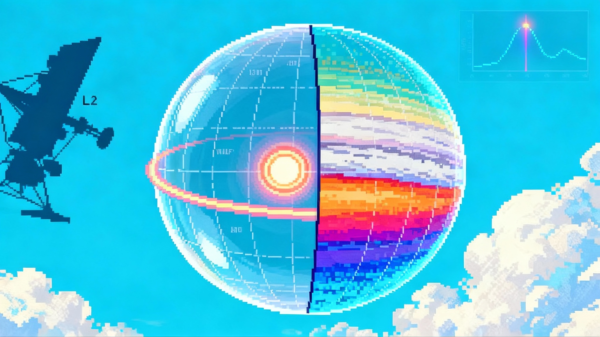
IMAP is different in scope. It is both a sentinel and a cartographer. It will still broadcast near real-time data for forecasters, but its defining job is to map the heliosphere using tiny messengers called energetic neutral atoms, along with charged particles, magnetic fields, and interstellar dust. Where SWFO-L1 watches the storm form and approach, IMAP helps redraw the charts that show which routes and regions are rough or calm months at a time. Carruthers adds a third, complementary view by imaging Earth’s hydrogen-rich exosphere, the geocorona, which responds to solar conditions and matters for communications and low-Earth-orbit operations. All-sky mapping also complements the broader survey perspective in our look at the SPHEREx all-sky atlas.
Meet IMAP’s ten instruments like a pit crew
Think of IMAP as a race team’s pit wall, packed with specialists that see different parts of the track. Each instrument fills a specific job, and together they build a picture of the whole course.
- IMAP-Lo, IMAP-Hi, and IMAP-Ultra: These three are the mapmakers for the outer lanes. Each detects energetic neutral atoms at different energies. Because neutral atoms are not deflected by magnetic fields, they travel in straight lines from where they were born in far-off collisions. By counting and timing these arrivals from many directions as IMAP slowly spins, the team reconstructs all-sky images of the heliosphere’s boundary, like sonar for a bubble that is billions of miles away.
- MAG, the magnetometer: Two fluxgate sensors on a boom measure the three components of the interplanetary magnetic field. This is the field that shapes how charged particles move, how shocks propagate, and whether a coronal mass ejection will couple strongly with Earth’s magnetosphere.
- SWE, the solar wind electron instrument: It measures the energy and direction of electrons that stream out from the Sun. Electrons respond quickly to changes in magnetic topology, so they are a sensitive early indicator of evolving structures.
- SWAPI, the solar wind and pickup ion instrument: SWAPI counts and characterizes solar-wind ions along with pickup ions that originate as neutral atoms from outside the heliosphere and become ionized. These measurements probe both local conditions and the exchange at the heliosphere’s boundary.
- CoDICE, the compact dual ion composition experiment: CoDICE separates ions by mass and charge state, so forecasters and researchers can tell whether the wind came from a quiet coronal hole or an active region eruption. Source matters because it changes both speed and storm potential.
- HIT, the high-energy ion telescope: When the Sun accelerates protons and heavier ions to very high energies, HIT tallies them. These bursts, called solar energetic particle events, are a prime radiation hazard for astronauts.
- IDEX, the interstellar dust experiment: A mass spectrometer that samples dust grains drifting through the solar system. Dust tells a story about the composition of the local galactic neighborhood and also about the sources of pickup ions.
- GLOWS, the global solar wind structure instrument: A Lyman-alpha photometer that reads the faint ultraviolet glow from interstellar hydrogen and helium that pervade the inner solar system, a tracer of how the solar wind sculpts space over time.
A bonus to this suite is IMAP’s near real-time broadcast channel, often described as I-ALiRT. It siphons a subset of data from several instruments and pushes it to ground stations quickly, where models can ingest it alongside SWFO-L1 streams. The broadcast is not just a status feed; it is a calibration bridge that ties research-grade measurements to operational forecasts.
What to watch, from commissioning to first maps
IMAP, SWFO-L1, and Carruthers take a few months to cruise to L1. Arrival is expected by January 2026. Then comes commissioning, a phase that looks unglamorous but decides how good the science and services will be.
- Weeks 1 to 4 after launch: Health checks, solar array performance, thermal balance, first contacts through the Deep Space Network. Carruthers begins low-rate housekeeping contacts while oscillating heaters and optics stabilize. SWFO-L1 starts exercising its ground segment to prove low-latency delivery.
- Months 2 to 3: Boom deployments and instrument activation. MAG extends and calibrates away from the spacecraft. SWE and SWAPI tune their detectors against known solar-wind features. SWFO-L1’s CCOR-2 coronagraph begins daily, then hourly, cadence tests. Early coronal mass ejection movies feed model dry runs at NOAA. Carruthers teams refine exposures to pull the geocorona out of the ultraviolet background.
- Months 3 to 6: IMAP spins on its science attitude and collects the first full swaths of energetic neutral atom counts. Expect the first quick-look images that resemble weather radar sweeps more than glossy postcards. These early maps already reveal hot spots and ribbons at the heliospheric boundary. SWFO-L1 completes its formal commissioning in mid-2026 and transitions to 24/7 operations. Carruthers publishes the first global animations of Earth’s exosphere reacting to a solar storm, a resource for understanding drag and radio propagation.
- 2026 science year: The first stitched, all-sky heliosphere maps appear at conferences, paired with initial dust composition results and refined electron, ion, and magnetic-field statistics. By this point, IMAP’s I-ALiRT stream is part of routine model blends, not just demonstrations.
How heliosphere cartography cuts radiation risk
Radiation risk for crews comes mainly from two sources. The first is solar energetic particle events, which can spike radiation levels for hours to days. The second is galactic cosmic rays, a constant drizzle of high-energy particles that varies with the solar cycle and with the structure of the heliosphere. You control the first by avoiding the worst days and by sheltering during spikes. You mitigate the second by planning routes and timelines when the heliosphere’s shield is strongest and by using shielding mass wisely.
Mapping the heliosphere does three practical things for risk reduction:
-
Sharper arrival and intensity forecasts. When a coronal mass ejection erupts, forecasters need to know its speed, direction, and whether it will connect magnetically to a given location in space. SWFO-L1’s coronagraph gives speed and width quickly, and its sensors measure the shock and magnetic field upstream of Earth. IMAP adds context by revealing the larger geometry of magnetic fields between the Sun and the outer boundary. That geometry tells you how particles will diffuse and whether a given habitat or spacecraft is in a line of fire. The result is fewer false alarms and more useful lead time for crews.
-
Safer windows and smarter routing. The heliosphere is not a smooth bubble; it is a living windsock buffeted by the local interstellar medium. IMAP’s energetic neutral atom maps reveal long-lived features and seasonal patterns that affect how cosmic rays leak in. If you are planning a Mars transfer, that map helps you pick a departure that trades trip time against ambient radiation. On the Moon, it helps mission control stack extravehicular activities in weeks that are statistically calmer.
-
Targeted shielding strategies. Not all radiation has the same energy spectrum. CoDICE and HIT measure the make-up of ion populations during storms. With that spectrum in hand, mission designers can tune water walls and stowage placement to block the dominant energies expected for a given phase of a mission. This turns blanket margins into targeted design choices, saving mass.
From last-minute alerts to mission-planning forecasts
Operational forecasters have long used models like WSA-Enlil to simulate how coronal mass ejections propagate and when they will arrive at Earth. The bottleneck has been continuous, rapid observations and reliable upstream measurements. SWFO-L1 was built to close that gap. It will deliver white-light coronal images in about 30 minutes, and in situ plasma and magnetic-field data within minutes. Those streams become boundary conditions for models that can project one to three days out, with update cycles suited to operations.
IMAP augments that near-term picture with deeper physics and better priors. Its I-ALiRT stream feeds the same models with continuous solar-wind electron and ion context, while the science data constrain the large-scale magnetic topology that governs how particles spread. Over time, the models learn from the maps. That is the key shift from reactive warnings to proactive planning.
Here is how that plays out for crews:
- Artemis surface operations: EVA planners receive daily go, caution, or no-go guidance for two to three days ahead, based on the current coronal mass ejection field and magnetic connectivity forecasts. A separate weekly outlook factors in heliosphere map trends and expected corotating interaction regions that can raise background levels. When an event is inbound, the forecast includes storm shelter time budgets and comm windows. On quiet days, it recommends opportunistic tasks that are more sensitive to radiation, such as high-voltage instrument swaps. For broader program context, see our 2025's lunar pivot overview.
- Mars transit and surface: Mission design teams select departure windows that ride the quieter side of the solar cycle and avoid known heliosphere structures that enhance cosmic ray access. En route, the crew receives coronal mass ejection and particle alerts with hours of lead time tied to specific operational actions. Those actions include rotating habitat modules to place water tanks between the crew and the Sun, piloting the vehicle to attitudes that reduce exposure, and scheduling exercise or sleep during higher background periods to minimize cumulative effective dose in work periods.
The companies and institutions turning science into service
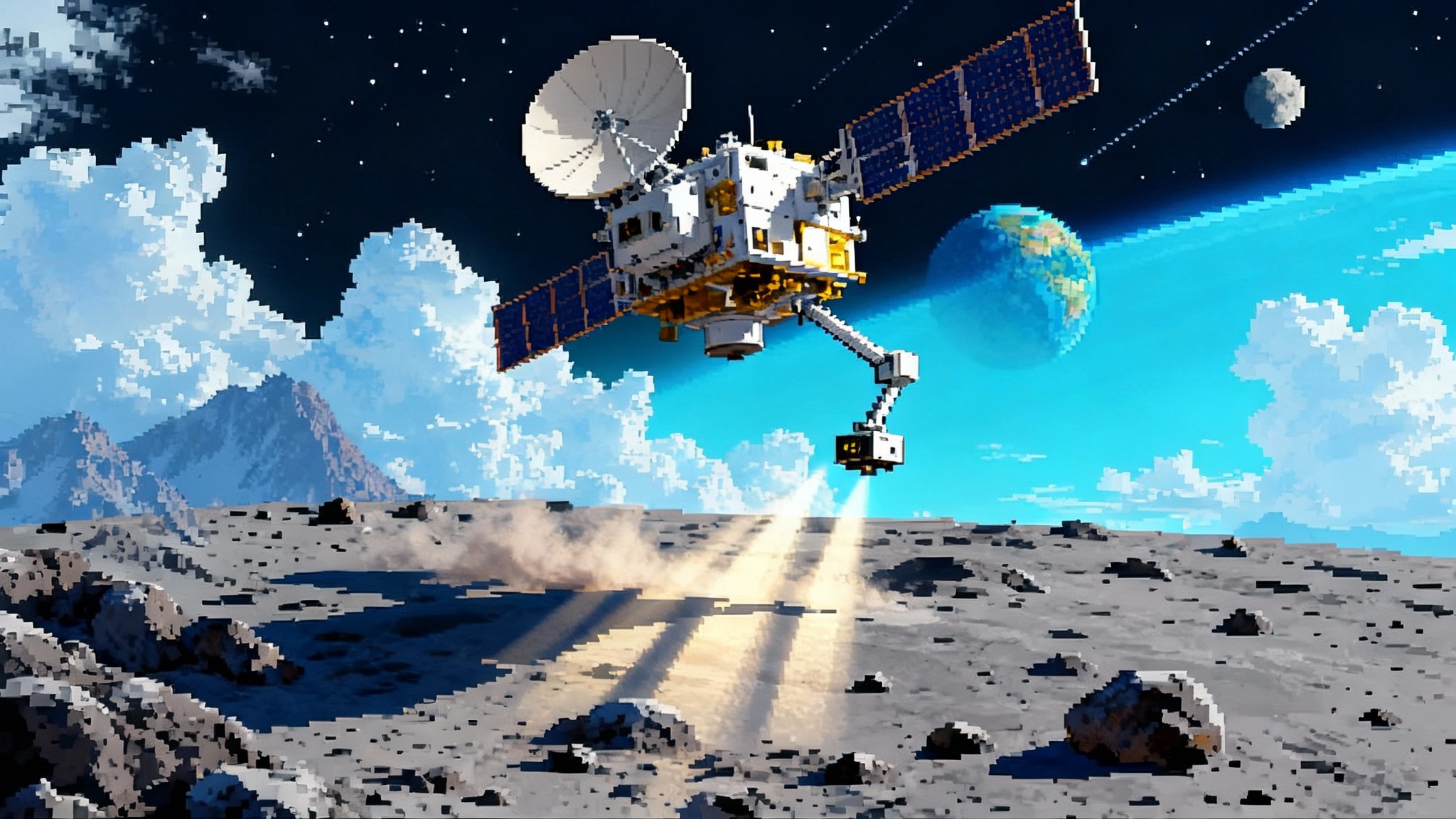
This new service is possible because research and operations teams aligned early. At the center is Princeton University, home to IMAP’s principal investigator and a network of more than two dozen partner institutions. The Johns Hopkins Applied Physics Laboratory built the IMAP spacecraft and will operate it. NOAA’s National Environmental Satellite, Data, and Information Service led the SWFO-L1 program with contributions from BAE Systems on the observatory, the U.S. Naval Research Laboratory on the compact coronagraph, Southwest Research Institute on plasma and ion sensors, and the University of New Hampshire on the magnetometer. Carruthers, led by the University of Illinois Urbana-Champaign with spacecraft built by BAE Systems and operations support from the University of California, Berkeley’s Space Sciences Laboratory, brings the first ever continuous geocorona views from L1.
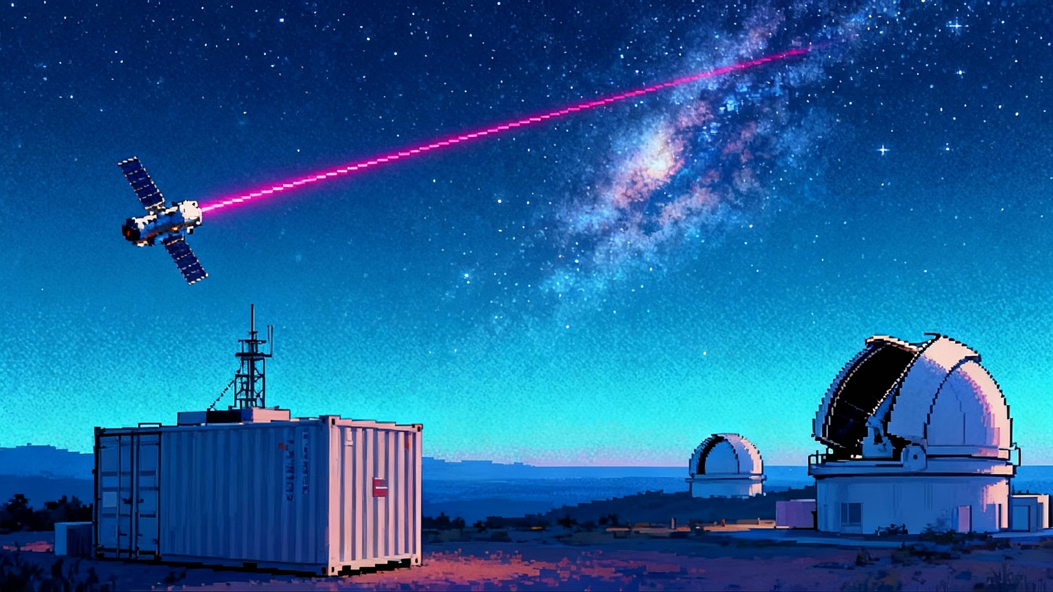
Equally important is the data plumbing. SWFO-L1’s ground segment was architected to move data from deep space to forecasters in minutes, and IMAP’s I-ALiRT was designed to broadcast a reliable subset of data precisely for operational ingestion. That may sound mundane, but in space weather, latency and reliability are as valuable as a new sensor. As we covered in deep-space laser internet progress, cutting latency can change what operations teams can do in real time.
How you can track the progress
- Launch and cruise: All three spacecraft are en route to L1 now, with arrival expected by January 2026. Expect periodic updates as Deep Space Network passes check off milestones and as the first instrument activations begin.
- Commissioning milestones: Watch for SWFO-L1 to declare provisional data availability as soon as ground systems are tuned, then full operations in mid-2026. For IMAP, look for the start of near real-time broadcasts from I-ALiRT, then the first quick-look energetic neutral atom mosaics. Carruthers will share first light from the geocorona as soon as optical calibrations converge, likely early in the year.
- First maps and first forecasts: The first full-sky heliosphere maps should roll out in 2026. Forecasters and mission planners will start folding those into model ensembles, moving from pilot use to standard practice. Expect joint briefings from NASA and NOAA as they showcase how map-aware forecasts change operational decisions.
The acceleration lever for deep space
Space exploration accelerates when two conditions are met. You need hardware that can go, and you need knowledge that makes going safe and predictable. IMAP, SWFO-L1, and Carruthers are knowledge multipliers. They do not add thrust or fuel; they add foresight. That foresight turns conservative margins into informed choices. It lets Artemis teams plan EVAs with confidence rather than caution. It lets Mars architects shave days off transits or mass off shielding because the radiation environment is modeled rather than guessed.
Most breakthroughs arrive in pieces. A new coronagraph here, a faster downlink there, a better map stitched over months of patient counting. Put the pieces together, and you get something new. On September 24, 2025, the pieces left Earth together. By the time these spacecraft settle into their work at L1, we will have the beginnings of an interplanetary weather service, one that tells crews not just when to duck, but when to go.